DJI Mavic 3 Enterprise Mapping in India: Accuracy Starts on the Ground
A survey workflow for Indian projects using the Mavic 3E mechanical shutter and RTK, with ground control, checkpoints and deliverable validation.
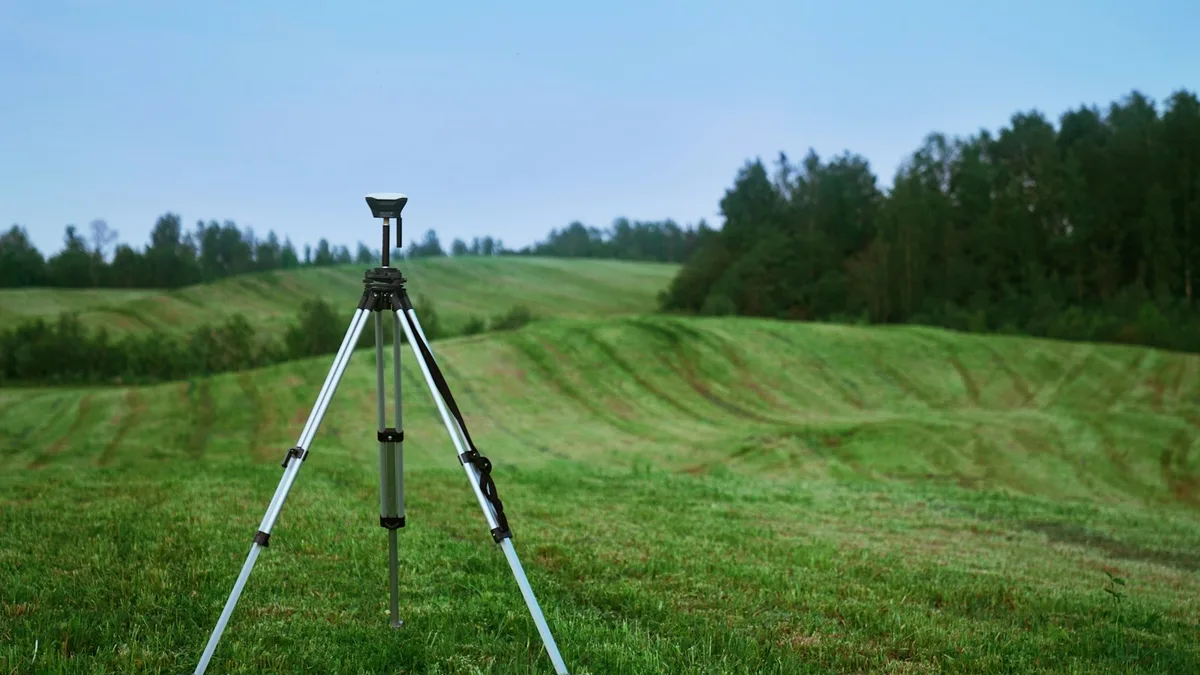
The DJI Mavic 3 Enterprise is marketed as an efficient mapping aircraft, and its camera and positioning system are designed for repeatable image capture. That does not make an exported orthomosaic automatically survey-grade. Accuracy is a property of the whole job: ground reference, flight geometry, image quality, processing, independent checks and a clearly stated coordinate system. An Indian buyer should therefore choose a Mavic 3E only after defining the map the client needs and the evidence that will show it meets the brief.
DJI's Mavic 3 Enterprise specifications describe the Mavic 3E's 4/3 20 MP wide camera, mechanical shutter, optional RTK module and relevant performance limits. DJI's product page emphasises rapid image intervals. Indian projects can also look to the Survey of India mapping specification example and the SVAMITVA implementation guidance to see how ground control and validation enter real programmes. Project contracts and current regulations govern the final method. A manufacturer’s marketing example is not an accuracy certificate for a particular survey.
Define the deliverable before choosing altitude
An estate brochure, a roof-condition overview, a stockpile volume, a contour plan and a cadastral boundary record are different deliverables. The first may need a visually clean orthomosaic; the last can have legal and positional requirements beyond an aerial photo. Ask for the coordinate reference system, area of interest, intended map scale or ground sampling distance, required horizontal and vertical accuracy, accepted file formats and independent check method. Record who will certify a boundary or engineering measurement. Do not promise a property card or land title from a drone image alone.
Flight altitude influences ground sampling distance, coverage per photo and visibility of small features. A lower flight may show more detail but produce many more images and longer field time. A higher flight may reduce time but miss thin edges or create weak control around a small structure. The legal DigitalSky height ceiling is a separate upper bound and can be lower in an airport-adjacent band. The chosen altitude should satisfy image detail and airspace constraints while allowing safe clearance from obstacles. A survey plan that works only by exceeding a legal ceiling is not a workable plan.
Why the shutter and RTK matter
DJI lists a mechanical shutter for the Mavic 3E wide camera. It reduces rolling-shutter distortion when the aircraft moves between exposures, which is valuable in photogrammetry. DJI also lists timed image capture intervals down to 0.7 seconds in supported modes. Those features can enable an efficient grid, but they do not guarantee sharp images. Shutter speed, motion, vibration, lighting and focus still need to be checked. A blurred image or a missed strip can weaken the reconstruction even when the camera took thousands of frames.
The optional RTK module improves the position information associated with images when it has a valid correction and fix. DJI specifies centimetre-level RTK module positioning under defined conditions, but that is not the same as centimetre-level accuracy of every pixel in a processed map. Image tie points, camera calibration, flight geometry, datum transformations and field control all affect the product. Log the correction source, fix status, coordinate system and any outages. If the RTK link drops during part of the mission, mark the affected images and decide how to handle them in processing instead of silently treating all photos as equivalent.
Ground control and independent checks
Ground control points tie the image block to known positions. Their number and placement depend on site shape, relief, required accuracy and processing method. Put visible, well-measured targets around the perimeter and within the area where they can constrain the block, with safe access and permission. A line of all points along one road edge is a weak pattern for a broad site. Checkpoints should be surveyed independently and withheld from model adjustment so they can test the finished product. If the same points are used to force the fit and to claim accuracy, the reported residuals are not an independent validation.
The Survey of India examples show why a national mapping project includes ground control and quality checks even when the aircraft is sophisticated. For a private site, a licensed survey professional should select the control method and sign off where the deliverable carries engineering or legal consequences. State the source of the base coordinates and the horizontal and vertical datum. A client may use a map to estimate area, align CAD plans or compare construction dates; an undocumented datum offset can make a visually excellent image misleading in those workflows.
Fly the block, not just the photo opportunity
Plan a grid with sufficient forward and side overlap for the terrain and subject, plus oblique views when vertical facades or complex structures need them. Use consistent exposure and focus. Shadows moving across the site can confuse matching, so choose an appropriate window. Review sample images at full resolution in the field for blur, glare and occlusions before leaving. A grid that looks complete on a controller map may contain a missing strip because the card filled, camera failed to trigger or a battery change shifted the route. Keep a field log of each block and battery.
For a long or irregular site, create separate blocks with planned overlap and common control. Avoid flying directly above non-participants or across a neighbouring property without the needed permissions. Check the current DigitalSky map for the entire route and altitude, not only the takeoff point. The Mavic 3E is a heavier aircraft and needs its own current registration, pilot and insurance review. A survey contract does not create an airspace exemption.
Processing and reporting the result
Keep original imagery, flight logs, RTK status and ground survey data. In processing, inspect camera alignment, tie-point distribution, control residuals and checkpoint residuals. Look for warped roofs, stretched roads, holes beneath trees and smearing near reflective water. Create an orthomosaic or surface model only after the block quality is acceptable. If the target is a volume, explain the base surface and boundaries used; a small change to the reference surface can materially change the number. State the coordinate system, date, resolution and tested accuracy in the delivery note.
Accuracy should be reported against independent checkpoints with a defined statistic and sample distribution, not as a single manufacturer number copied onto a proposal. Separate horizontal from vertical results and identify areas of weak coverage. A map can be fit for marketing and unfit for setting a property boundary. If a client later wants a higher-stakes use, revisit the control and validation rather than relabelling the same file. Good survey practice makes the limitations visible so the client can use the output correctly.
Choosing a service, not just an aircraft
An Indian buyer comparing mapping equipment should price the ground survey, trained crew, processing time, control targets, software, backups and quality review alongside the drone. A provider quoting only “drone flight plus map” may omit the work that establishes accuracy. Ask for a sample report with coordinate system, checkpoint table and a clear statement of use. For a small visual site record, a simpler aircraft and modest deliverable may be sufficient. For engineering or legal mapping, the Mavic 3E's mechanical shutter and RTK are valuable inputs, but competent ground control and independent validation remain the deciding capabilities.
The practical sequence is brief, ground plan, airspace and site permission, calibrated flight, image review, processing, independent check and documented handoff. That sequence turns a capable DJI Enterprise camera into a trustworthy project result. Without it, a sharp mosaic is only a sharp picture with uncertain position.
Contact SkyViews Aerial Drone Studio at +91 90190 56479 or skyviewsdronestudio@gmail.com. Service area: Bangalore, Karnataka and India and wider Bangalore, Karnataka and India.