DJI FlySafe vs DigitalSky in India
DJI GEO zones and India’s official DigitalSky airspace map answer different questions. Here is a conservative way to resolve conflicts before...
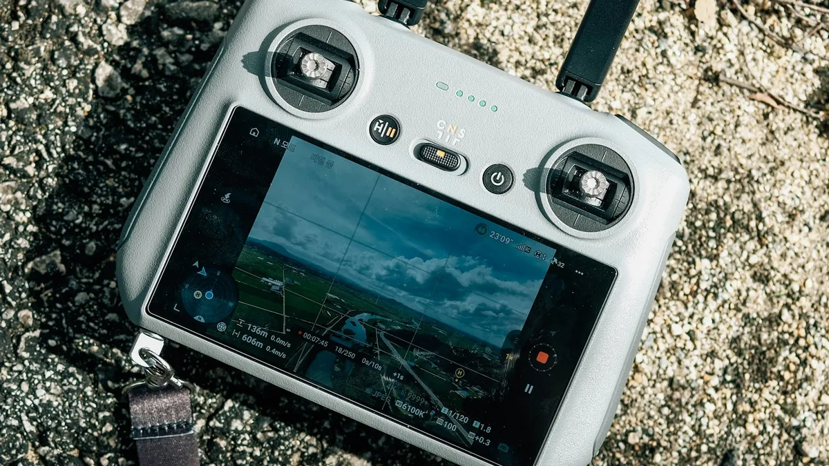
A DJI pilot in India can see two different maps while preparing one flight. The control app may display a DJI FlySafe GEO zone, warnings or an unlock prompt. India's DigitalSky portal may display a green, yellow or red airspace classification. A colour match is convenient; a colour mismatch is not unusual enough to treat as a software error. The maps have different publishers, purposes and update schedules. Neither one replaces a site survey, a permission document or a pilot's judgement.
The Drone Rules, 2021 require an operator to verify the airspace map before flight. The Airports Authority of India's DigitalSky portal publishes the Indian zone definitions and map. DJI's FlySafe explanation says its GEO system provides warnings and restrictions around some locations, and explicitly puts responsibility for legal and safe operation on the operator. Read the current versions on the day of the flight. An app screenshot saved months ago is background information, not a current airspace check.
What DigitalSky tells an Indian operator
The official map is the starting point for Indian drone airspace classification. A green zone generally does not need prior airspace permission under the Rules, subject to the map's altitude limits and the rest of the applicable law. DigitalSky describes a general green ceiling of 120 metres above land or territorial waters where the space is not designated red or yellow. It also describes a lower 60-metre green ceiling in the specified band between eight and twelve kilometres from an operational airport perimeter. Space above those green ceilings is yellow under the portal's definitions. A yellow-zone operation needs permission from the concerned air traffic control authority; a red-zone operation needs Central Government permission.
These are legal categories, not a guarantee that a flight from any balcony is safe. A map tile can include a boundary close to a proposed route. A point search at takeoff is insufficient if the planned orbit or return-to-home path crosses into another zone. Zoom out and inspect the whole operating area, proposed maximum height, and recovery route. Note the date and map state in the flight brief. If a zone boundary or temporary restriction is unclear, ask the responsible authority and do not invent permission from a map colour.
The portal is also a moving service. DigitalSky and eGCA have handled different forms and workflows, and notices can change the practical way to request or record an authorisation. Follow the current official instructions instead of a tutorial recorded for an earlier interface. Save the actual approval identifier and its conditions when approval is needed. A submitted form, a fee receipt and an issued permission are not equivalent states.
What DJI FlySafe does, and does not, decide
FlySafe is a manufacturer system built into DJI products. DJI describes warning, enhanced-warning, authorisation and restricted GEO zones around selected places. Depending on aircraft, software version and location, the app may show a prompt, limit a takeoff or require an unlock process. Those controls can be useful reminders, but their underlying geodata is not the official Indian legal airspace map. A successful DJI unlock does not issue Indian ATC or Central Government permission. Conversely, an official airspace permission does not automatically remove a DJI software lock. The operator may need to resolve both conditions before flying.
DJI's own explanation says the pilot must consult official sources and exercise reasonable judgement about safety and legality. That matters when an app says “ready to fly” in a place where DigitalSky is yellow or red. It also matters when DJI shows a restrictive zone in a green DigitalSky area: the operator cannot bypass aircraft safeguards casually or claim a green tile forces DJI to unlock its product. Check the manufacturer's current unlock instructions and support route, plan time for them, and ensure that any unlock covers the correct aircraft, coordinates, altitude and time window. An emergency unlocking trick borrowed from an internet forum is not a flight plan.
A four-case conflict table in words
If DigitalSky is green and DJI is clear, confirm altitude, ground access, people, weather and aircraft status. This is the easiest pairing, but green is not a universal go-ahead. If DigitalSky is yellow or red while DJI shows no warning, follow the Indian permission requirement. The absence of a DJI lock cannot grant official approval. If DigitalSky is green and DJI blocks takeoff, diagnose the manufacturer restriction and use the legitimate support or unlock workflow if appropriate. Check for other official notices before assuming the green status is complete. If both systems restrict the route, resolve the official permission and DJI control separately; one document cannot substitute for the other.
There is a fifth practical case: the maps appear to disagree because the pilot searched slightly different coordinates or heights. Verify the launch point, flight area and altitude in consistent units. A planned 80-metre flight in the airport-adjacent band can exceed the 60-metre green ceiling even if the ground point looks green at a lower altitude. A long camera move can leave the area first checked. Put the intended route on the map instead of checking only the centre of a property.
Ground permission and temporary restrictions
Neither map grants a right to use land. A hotel terrace, housing society courtyard, industrial campus, archaeological site or event venue may have access conditions. Obtain the relevant property or venue permission and agree on the flight area. Consider bystanders, public roads, private windows and sensitive activity in the camera frame. A DJI sensor or short flight time does not answer consent and privacy questions. Check official notices around public events, security operations and temporary restrictions in addition to the standard map.
Weather and aircraft performance can also narrow a legally available route. A compact Mini has limited wind and rain tolerance. Strong wind at the intended filming height may prevent a safe return even if the ground feels calm. A low sun can affect obstacle sensing, and a dark roof can reduce visual-system reliability. DJI's sensing or return-to-home feature is a backup with limits, not an airspace permission and not a reason to plan a route without a clear emergency landing area.
A repeatable preflight record
For each job, record the coordinates of the proposed launch and the outer edge of the route; the maximum planned height; the DigitalSky map result with date and time; any official approval and conditions; the DJI FlySafe result; property consent; and the pilot's decision. Add the exact aircraft, battery and software configuration so a later reviewer knows which app and firmware were used. Share the short record with the producer or client before the shoot. If the location changes on the day, redo the check. A permit for one coordinate, height or time cannot be stretched silently to a different plan.
Brief a ground observer on the route and stop conditions. The observer watches for people, vehicles, birds, approaching aircraft and changes that a screen may not show. Agree on one plain call to abort. Keep a return or landing path that does not depend on an uncertain geofence boundary. If the controller shows a new restriction or GNSS behaviour changes, hold position only if safe, then land or follow the aircraft manual's abnormal-operation procedure. Do not troubleshoot a map dispute while the drone is already far from home.
The decision hierarchy for a consumer pilot
Start with current Indian law and the official DigitalSky airspace information. Resolve official permissions and ground access. Then confirm that the exact DJI aircraft can operate within its own software limits and the manufacturer's instructions. Finally make a safety decision using local conditions. If any necessary condition is unresolved, postpone or redesign the flight. A DJI app can add a practical constraint; it cannot remove an Indian one. That simple hierarchy works for a first Mini owner, a travelling creator and a production team alike.
Plan your project
Share your site, dates and intended output so we can confirm a suitable scope.
Explore managed drone services · Compare project scope · Get in touch
Related reading
- India Drone Rules for Consumers: What a 250 g Mini Does and Does Not Exempt
- Your First DJI Mini Flight in India: A Practical Preflight Guide
- Airspace Mapping, Geofencing & DJI Dilemma in India
Contact SkyViews Aerial Drone Studio at +91 90190 56479 or skyviewsdronestudio@gmail.com. Service area: Bangalore, Karnataka and India and wider Bangalore, Karnataka and India.