Drone Earthwork & Stockpile Volume Measurement in Bangalore
How construction, quarry and industrial teams can plan aerial volume measurement, cut-and-fill comparisons, accuracy checks and useful reports.
By SkyViews Aerial Drone Studio
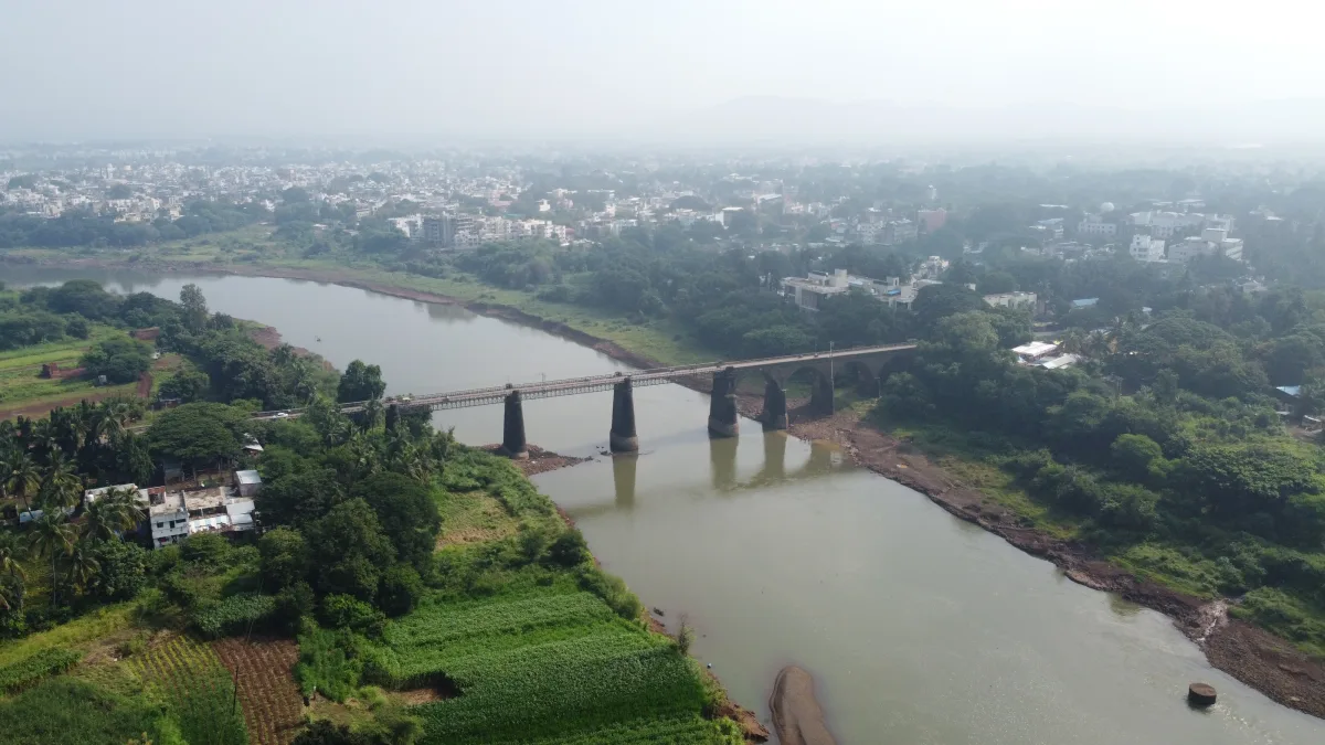
Drone-based volume measurement can help teams estimate stockpiles, excavation, embankment and earthwork change without sending people across every part of a difficult site. The quality of the result depends on the capture design, control, surface visibility, processing method and reference surface—not just the number of photographs.
Define the earthwork measurement question
Specify whether the team needs a stockpile volume, cut-and-fill comparison, excavation estimate, embankment change, monthly movement record or planning surface. Also define the boundary, coordinate system, reference date, units, report format and person responsible for approval.
What affects accuracy?
Surface texture, vegetation, water, shadows, steep slopes, occlusion, image overlap, ground control, check points, GNSS quality, processing classification and the chosen base/reference surface all affect the result. Accuracy should be stated as a project specification or estimate with assumptions, not as an automatic property of every drone flight.
Suggested deliverables
- Orthomosaic for visual context
- DSM or terrain surface where suitable
- Boundary and measurement diagram
- Volume table with units and reference surface
- Comparison against a previous survey date
- Processing notes and accuracy checks where included
Begin with the quantity decision
Ask why the volume is needed. A quarry manager may want an approximate monthly stock record. A contractor may need to compare excavation with a design surface. A client may need an independent check before payment. Those uses require different boundaries, control, uncertainty and sign-off. Write the material, area, date and decision beside each requested number. “Measure all piles” is incomplete if the site contains different materials, overlapping heaps or piles that change during the survey.
Name the responsible reviewer. A drone team can make a surface and calculate a volume under agreed assumptions. A quantity surveyor, engineer or site manager may need to decide what the result means for inventory, contract quantities or certification. State that division in the brief so a visual report is not mistaken for a signed commercial measurement.
Draw each pile or work area clearly
Provide a current site plan or mark the measurement areas during a walkthrough. Agree where each stockpile starts and ends, whether two touching piles are treated separately, and how conveyor discharge or material against a wall is handled. For an excavation, define the cut boundary. For an embankment, identify the design or previous surface used for comparison. A few metres of boundary difference can matter even when the model itself looks detailed.
Ask the provider to deliver the boundary as a visible diagram and, when useful, an editable GIS or CAD layer. Assign a stable pile ID. The ID should match site records and future surveys. If a pile is moved or merged between visits, record that change instead of comparing two unlike shapes under the same label.
Choose the reference surface before processing
Volume is the space between a measured surface and a reference. For a free-standing pile on level ground, a base may be estimated from visible ground around it. For a pile against a wall or on sloped ground, the hidden base is harder to know. For cut-and-fill, the reference may be an earlier survey or a design model. Each choice can change the answer. The report should name the reference, its date and how it was made.
Do not accept one unexplained cubic-metre figure. Ask to see the top surface, base surface and polygon used in the calculation. If the base was interpolated beneath material, the report should say that it is an assumption. If material was already present at the baseline date, a change calculation may be more reliable than claiming the absolute pile volume. The client should approve the method before the final quantities are used.
Capture the visible surface safely
The operator needs the site boundary, access, active vehicles, cranes, conveyors, power lines, blasting or exclusion zones where applicable, and a site contact. The pilot assesses current flight rules, airspace and conditions for the exact location. Site activity may need a short pause near the launch area, but the drone should not interfere with normal vehicle routes or safety controls. A suitable weather window also matters because strong wind, rain or dust can reduce image quality.
Plan overlapping views that show slopes, crest and toe of each pile where safe and feasible. Steep faces can be hidden from a single straight-down pass. Shadows and uniform material can make image matching difficult. Vegetation, standing water, tarps or moving machinery can hide the true material surface. Record where the model is weak or incomplete rather than filling every gap without comment.
Use control and independent checks for measured work
The team should specify how the imagery is positioned and how the result will be tested. Ground control points can help tie the model to a coordinate system. Independent check points test the finished output without being used to adjust it. RTK or PPK positioning may improve the workflow, but a “fixed” aircraft position alone does not prove final volume accuracy. The RTK, PPK and GCP guide explains the terms.
Agree the required horizontal and vertical performance with the responsible survey professional. The ASPRS positional accuracy standards are an industry reference for reporting spatial accuracy; the contract must state the applicable project test. A volume combines errors in surfaces, boundaries and the reference base. A small pixel size is not a complete uncertainty statement.
Make month-to-month comparisons fair
Use the same coordinate reference system, units, pile IDs and measurement boundary when comparing visits. Record when material was added, removed or moved. Choose capture dates close to the inventory cut-off and note site work between the survey and the accounting date. A change map can show where the surface rose or fell, but it does not tell the whole material-flow story if trucks moved material in and out between visits.
Keep an agreed baseline surface and version history. If the baseline is corrected later, label revised calculations so they are not mixed with the original report. A simple table can show opening volume, closing volume, apparent change and the assumptions behind it. Avoid claiming that apparent change equals tonnes or sales without a separate density and material accounting method.
Review the output before using the number
Open the orthomosaic and inspect each polygon. Does it follow the real pile edge? Are there holes, vehicles, shadows or water in the model? Look at the surface in cross-section, especially at crests and steep sides. Check the units, coordinate system and reference date. Ask whether the reported volume is in cubic metres and whether it represents absolute volume or change between two surfaces.
For a large project, review a sample area while the crew can still return. A missing slope or wrongly labelled pile is easier to fix before the site changes. Request the source image references, processing note, check results and limitations with the final table. If the contract requires certification, the responsible professional should review and sign according to that process; the drone report alone does not create it.
Example: three piles at a Bangalore yard
Imagine an industrial yard with sand, aggregate and soil stockpiles. The manager wants a monthly inventory comparison. The team marks three separate boundaries and assigns IDs that match the yard ledger. Before capture, they agree how the base under each pile will be modelled. The operator confirms safe access and a flight window when loading activity can be managed. The resulting images and surfaces are checked against independent points and the site plan.
The first report gives the three volumes with the boundary and base method. The next visit reuses the IDs and reference system, but it notes that one pile was moved to a new bay. The manager can then interpret the measured changes alongside dispatch records. The report does not pretend that a camera can identify moisture, density or exact mass from shape alone.
Send a useful quote request
Give the provider the site pin, area size, number and type of piles, active operations, required dates, existing survey or design surfaces, preferred file formats, accuracy need and approval process. Ask what control, checks, base assumptions and exclusions are included. This makes two proposals comparable. A fast aerial image and a defensible quantity report are different deliverables, even when they begin with the same flight.
Related volumetric and site survey services
See drone survey and mapping, orthomosaic versus 3D model and construction monitoring. SkyViews scopes measurement work around site size, terrain, output and technical acceptance criteria.
FAQs
Can drones measure stockpile volume?
Yes, when the site, surface, capture plan, control and processing method are suitable for the required measurement.
Is a drone volume report always survey-grade?
No. The accuracy and acceptance standard must be specified and checked for the actual mission.
Can volumes be compared month to month?
Yes, if the capture, coordinate system, boundaries, reference surfaces and processing workflow remain sufficiently consistent.
Can a drone replace a quantity surveyor?
No. Drone data can support measurement and review, but the responsible professional should determine how it is used for contracts, billing or certification.
Plan your project
Share your site, dates and intended output so we can confirm a suitable scope.
Mining & Quarry Surveys · Compare project scope · Get in touch
Related reading
- Quarry and Mining Drone Survey for Stockpiles and Progress in India
- Earthwork Quantity Handover with Drone Survey in India
- Agriculture Drone Mapping for Farms and Estates in Karnataka: Practical Guide
- Government & Smart-City Drone Services in Karnataka: Planning Guide
- Powerline, Pipeline & Utility Drone Inspection in Bangalore
- 360° Aerial Virtual Tours for Real Estate & Hospitality in Bangalore
Contact SkyViews Aerial Drone Studio at +91 90190 56479 or skyviewsdronestudio@gmail.com. Service area: Bangalore, Karnataka and India and wider Bangalore, Karnataka and India.