Earthwork Quantity Handover with Drone Survey in India
How project teams can plan drone-based cut-and-fill or stockpile deliverables with boundaries, surfaces, control, reporting and acceptance...
By SkyViews Aerial Drone Studio
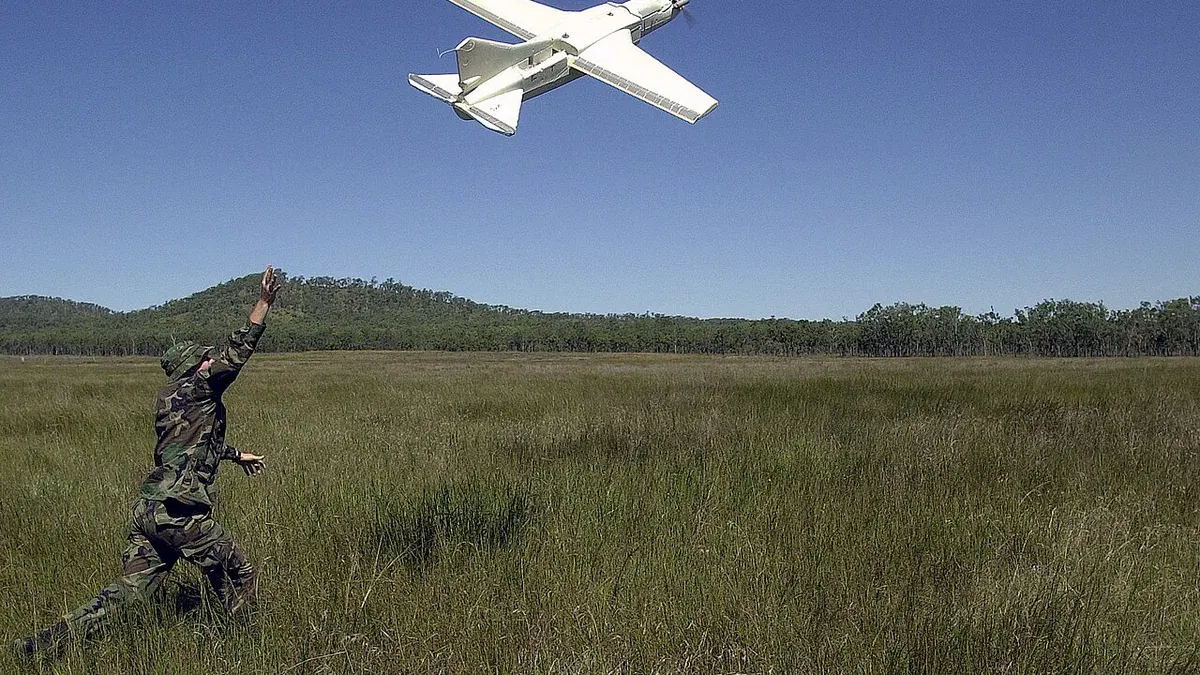
A drone can map a visible excavation, embankment or stockpile and help a project team calculate a volume. The number is only as useful as the question behind it. A pile volume measured above a guessed base is different from a cut-and-fill quantity between two surveyed surfaces. If the boundary, dates, coordinate system or acceptance method are unclear, two teams can calculate different figures from the same photographs.
This guide explains how to plan an earthwork quantity handover in India. It is written for owners, contractors, surveyors and project controls teams. A drone survey can be part of a quantity process when the method is agreed and checked. The contract administrator and responsible survey or engineering team decide whether the result meets the project's billing or acceptance rules.
Quantity Objectives & Base Surface Definition
Define the quantity before capture
Write down the material and area being measured. Is the question about a free-standing stockpile, excavation from original ground, fill placed in an embankment, a borrow area or monthly change? Each case needs a different base or comparison surface. A single image date may be enough for a pile against a known base, while change between two dates needs two compatible surfaces.
Mark the calculation boundary on a plan. Identify who supplied it and whether it is surveyed or a temporary work-package line. A volume can change if the edge moves a few metres or if a ramp is included on one date and excluded on another. The project should agree these choices before a number is produced.
State the unit, reporting date and intended use. A planning estimate, internal progress check and payment certificate can have different evidence requirements. Do not let a useful visual estimate acquire contractual status by being copied into a billing spreadsheet without review.
Identify the base surface
For a stockpile, the calculation needs a base beneath the visible material. That base may come from a pre-stockpile survey, a surrounding-ground estimate or an agreed design level. The method should be stated in the report. If the pile covers an uneven surface that was never measured, the calculated volume contains an assumption that may materially affect the result.
For cut-and-fill, the two surfaces must represent the intended before and after conditions. If one surface includes topsoil and the other represents finished grade, the report should say so. Do not compare a design model with a current terrain model without explaining the purpose and source of each. A different base can answer a different question.
Keep earlier surfaces and their version names. Replacing a baseline file after several monthly reports can change every earlier quantity. If a correction is necessary, issue a revised calculation with a clear reason and approval trail.
Specify survey control and checking
The survey team should agree the coordinate reference system, vertical datum, ground control or positioning method, and independent checkpoints appropriate to the required accuracy. Image sharpness is not the same as survey accuracy. The ASPRS positional accuracy standards provide a framework for testing and reporting mapping accuracy; the project still has to select a suitable requirement and acceptance method.
Document how the drone data were processed and checked. Control points used to position a model and checkpoints used to assess it have different roles. The report should state the quality result in plain terms and identify areas where the surface is weak. If the contract needs a tighter tolerance than the data can support, the team should change the method before relying on the figure.
The US Geological Survey has shown that comparing extraction volumes across dates depends on datasets aligned in the same three-dimensional space with surveyed control in its mine-site production verification studies. The lesson for a project handover is practical: use consistent control and document it, rather than assuming two attractive models line up precisely.
Surface Observation & Volumetric Calculations
Record what the camera could see
Photogrammetry represents visible surfaces. Vegetation, water, dust, deep shadow, steep faces, machinery and temporary covers can hide the ground. A stockpile may have an overhang or a side the camera could not observe. Mark those areas and describe how they were handled. Do not silently fill an unseen void and report the result as a measured fact.
Capture field notes while the condition still exists. Was the pile being loaded during the flight? Had rain altered the surface? Was a truck parked across the toe? Did workers move material between the beginning and end of the survey? These details help explain differences in a later review.
Keep source images as well as the finished surface. A reviewer may need to see why an odd shape appeared in the model or whether a boundary line followed material or bare ground. The source trail is part of an auditable quantity.
Choose a consistent calculation method
The report should explain how the volume was computed from the surfaces and boundary. It should also state whether the figure is in situ volume, loose stockpile volume or another defined measure. Do not convert between material states using an undocumented factor. If a project applies a contract factor, show it separately from the mapped geometric volume.
Use the same method for recurring comparisons where possible. If software, surface filtering or boundary rules change, record the change and consider recalculating the earlier period for a fair comparison. A new processing method can make a pile appear to grow or shrink even when the site did not change.
Show the calculation area on a map. Give each pile, excavation or work zone a stable ID. A table should include area ID, capture date, base surface version, current surface version, volume, unit, quality note and reviewer status. A single total for an entire site is difficult to check if one zone is disputed.
Connect the number to the contract process
Before the first quantity survey, ask the parties who approves the boundary, base, method and tolerance. Agree how an exception will be resolved. A drone provider can deliver a documented calculation, but a payment decision belongs to the contract's authorised process. If the parties have not agreed to use drone data for billing, present it as a supporting estimate or management record.
Give the contractor a chance to review the surface and boundary, not only the final number. A difference can arise from a missed ramp, a pile base, a change in material or a wrong date. A transparent handover makes the disagreement specific and easier to solve.
Keep signatures or approval records with the version used. If a later map supersedes it, identify which figure was accepted for which period. Never overwrite an issued report without a revision note.
Handover Reproducibility & Stockpile Case
Build a handover that someone else can reproduce
Deliver the source imagery, control and checkpoint information, processed point cloud or surface where agreed, boundary file, base surface, calculation table, report, map and limitations note. State file formats and coordinate information. Use stable names so the receiving surveyor can tell which file belongs to which date and work zone.
Open a sample on the client's system. Check that the boundary aligns with the map, the surface loads correctly, and a reported value can be traced to the source files. A PDF with a colourful heat map may be useful for a meeting but is not enough if the contract calls for an auditable quantity dataset.
Separate a public progress graphic from the technical quantity record. A visual before-and-after image may tell a useful story, but it should not carry a precise volume unless the method, unit and approval are also clear.
Example: a monthly stockpile handover
Suppose a road project has three aggregate piles. The parties agree the pile IDs, surveyed base surfaces, boundaries and a monthly capture window. The survey team uses the same coordinate system and checks the model at independent points. On the second visit, loading equipment blocks one pile edge. The report gives checked volumes for the two clear piles and marks the third as needing a repeat or an agreed estimate. The contract administrator decides how to treat that exception.
That approach may look less tidy than a table of three precise numbers, but it is far more useful. It tells everyone which quantities are supported by observation and which depend on a decision. For background on positioning methods, see the RTK/PPK/GCP guide.
Plan your project
Share your site, dates and intended output so we can confirm a suitable scope.
Drone Survey & Mapping · Compare project scope · Get in touch
Related reading
- Drone Survey & Photogrammetry Mapping Bangalore Guide
- Drone Survey vs Total Station vs Laser Scan: Which Method Fits?
- Drone Survey vs Traditional Land Survey: Key Comparisons
- Wedding Venue Drone Content Planning in Bangalore: Client Guide
- Construction Pre-Bid Drone Site Reconnaissance in India
- Cooling-Tower Drone Inspection in India: Visual Scope and Safety Guide
Contact SkyViews Aerial Drone Studio at +91 90190 56479 or skyviewsdronestudio@gmail.com. Service area: Bangalore, Karnataka and India and wider Bangalore, Karnataka and India.