Guide to Professional Drone Services in India (2026)
A clear guide to hiring drone services in India: choosing the right work, checking flight feasibility, comparing quotes and reviewing the...
By SkyViews Aerial Drone Studio · Published
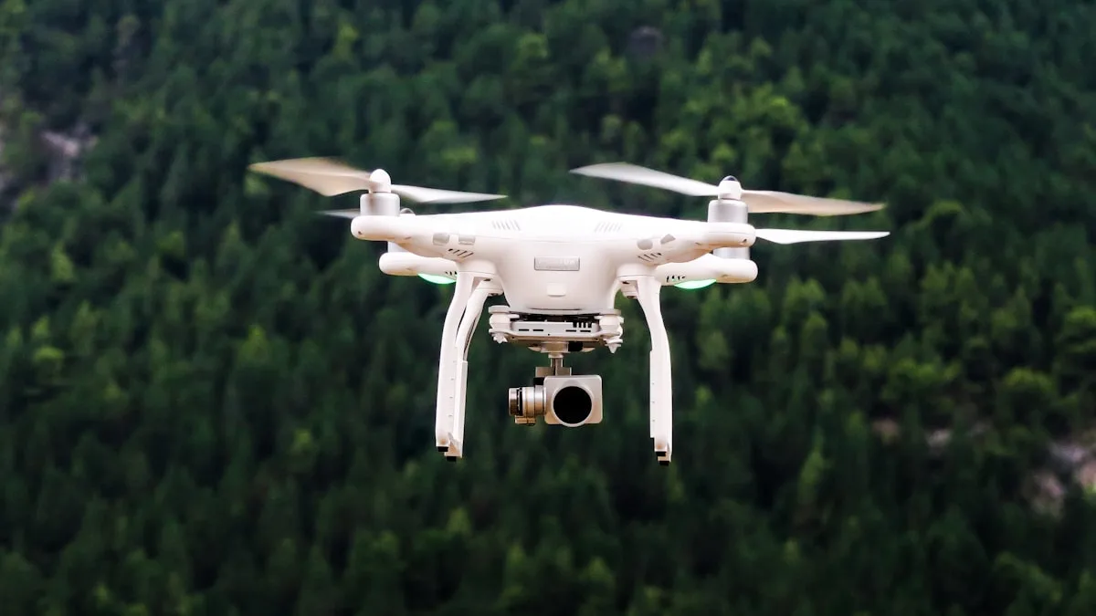
Hiring a drone team should start with a simple question: what do you need to see, measure, or show? A property team may need clear views of a building. A site engineer may need a map that can be checked against ground measurements. A film producer may need a short moving shot. These jobs can look similar from the ground, but they call for different plans and deliverables.
This guide explains how to choose a service, prepare a brief, check whether the location can be flown, and review the finished work. It is written for people buying a drone service in India, even if they have never hired a pilot before. For the rules that apply on the day of a flight, check the Ministry of Civil Aviation's Drone Rules, the DGCA and the official DigitalSky airspace map. Rules, map status and local access conditions may change.
Start with the decision the images must support
Before asking for a price, write down how the result will be used. “We need a drone shoot” leaves too much open. “We need six approved photos showing the tower and its road access for a property brochure” gives a team something it can plan and quote. A good brief names the site, the audience, the main subject, the deadline and the format. It also says who can grant access to the site.
If the work will support an engineering decision, add the required coordinate system, output format and acceptance method. If it will support marketing, share examples of the style you like and list any views that must be avoided. The pilot can then tell you what is feasible from a safe and lawful position. A drone cannot guarantee an unobstructed view of every facade or a direct flight over a busy road.
Choose the right kind of drone service
Property and building photography
For a property listing or sales campaign, the useful result is usually a small set of well-composed photographs. These may show the building in context, the entrance, nearby open space and the scale of a site. Ask whether the quote includes image selection, colour correction, basic retouching and web-ready files. If you need a view from a planned floor, explain how that view will be labelled. A photo taken at an estimated height should never be presented as a verified future view. Our real estate drone photography guide covers this type of brief in more detail.
Films and brand videos
Video work needs a shot list and an edit plan. A five-second reveal of a building may take several takes and a different flight path from a steady overview. Tell the crew where the film will appear: a website, a screen at an event, a social video or a longer brand film. Agree on the final aspect ratio, length, captions, music rights and number of review rounds. Ask for a sample of similar work before booking. For more complex shoots, see our film and OTT production service.
Indoor and FPV tours
An FPV drone can make a flowing tour of an office, venue or factory. The route must be planned around people, glass, cables and moving equipment. A smaller guarded drone may suit a tight interior. A larger camera may suit an open outdoor route. A long tour need not be one risky take: several short shots can be edited into a smooth result. Agree which rooms, people and business details may appear. Read our FPV filming service if this format fits your site.
Construction progress records
For progress work, repeatability matters more than a dramatic camera move. Decide which views will be captured on every visit and how files will be named and stored. A dated set of images can help teams discuss visible progress. It does not by itself prove that hidden work is complete or that a contractor's bill is correct. If a measurement or formal record is needed, specify that work separately. Ask the provider how weather, blocked access and a changed site layout will be handled between visits.
Mapping and survey support
A mapping job uses many overlapping images to produce a map or model. The result may include an orthomosaic, a surface model or a point cloud. A good looking map is not automatically accurate enough for design, boundary or payment decisions. Agree on the coordinate system, ground control, independent check points and an error report before the flight. A licensed surveyor or the relevant authority may still be needed for a legal boundary or certified survey. See our drone survey and mapping service for typical outputs.
Asset inspection
An inspection flight can show hard-to-reach roofs, facades, solar panels or other assets. Decide whether you need clear visual photographs, thermal images, or both. The report should identify each image's location and record what is actually visible. A thermal pattern may suggest an issue, but it is not a diagnosis by itself. An engineer or other qualified specialist should interpret the finding and decide what follow-up is needed. Ask how the crew will keep its distance from people, power lines and equipment. Our industrial inspection service explains the scope.
Check whether the flight is feasible
A useful first request includes a map pin, address, date range and site contact. The operator should check the current DigitalSky map for that location and the planned height. They should also check current rules, aircraft and pilot requirements, and any permissions linked to the airspace or site. A green area on a map is not a promise that every flight there is safe or allowed. Security restrictions, crowds, weather, a nearby helipad or the property owner's rules can still affect the plan.
Ask the team to explain the result in plain language: where it proposes to launch, what it proposes to film, who will keep people clear, and what would cause a delay or cancellation. If the desired angle requires flying over a crowded place, near sensitive property or beyond the crew's safe view, ask for another angle. A responsible proposal may include a ground camera or a later shoot time.
The Drone Rules, 2021 and later amendments set out the legal framework. Requirements vary by aircraft category and operation. Do not assume that a small drone, a pilot certificate, a manufacturer's app unlock or a client letter is enough on its own. The operator should verify the combination that applies to the actual aircraft, pilot, place and flight. A client can ask to see the relevant documents without trying to replace the operator's legal review.
Compare quotes on the same scope
Two prices are hard to compare if one covers only a flight and the other covers planning, editing and delivery. Send every bidder the same brief. Ask them to list the number of site visits, expected flight window, crew roles, equipment type, image or video outputs, editing, revisions, travel, taxes and delivery date. Also ask what happens if the weather prevents a safe flight.
Check the insurance and cancellation terms in writing. Ask who is responsible for arranging property access and any site permits. Confirm whether raw camera files are included; many clients only need finished files, while an editor may need the originals. A provider may offer a backup aircraft or extra batteries, but these are scope choices to verify, not universal promises. Our packages page can help you frame a request, and a written quote should still control the job.
A simple quote example
Suppose a hotel wants ten aerial photos and a 30-second web video. Its brief names the hotel, the two dates it can allow access, the target audience and the features to show. It asks for landscape and vertical exports and says that guests cannot be filmed without consent. One proposal includes a half-day visit, ten edited photos, one video, music licensing and two review rounds. Another includes only the flight and camera files. The first may cost more, but the scopes are different. Compare the complete work and the usage rights before choosing.
Agree on files and acceptance before the shoot
For photos, write down the number of finished images, resolution, file type and whether raw files are needed. For video, agree on length, orientation, format, captions, sound and review rounds. For mapping, specify the coordinate system, output formats, ground checks and a clear acceptance threshold. For inspection, specify an asset list and a way to link each finding to an image. Avoid terms such as “survey grade” or “cinema quality” without measurable details.
Make the review path clear. One client contact should collect feedback so the editor receives one set of comments. State what counts as a revision and what would need another site visit. Keep a copy of the final file list and the accepted versions. Ask how long the provider retains source files and how you can obtain them later. The answer belongs in the agreement; there is no standard storage period or transfer of copyright that applies to every job.
What happens on the day
The crew should first confirm the site contact, airspace status, weather and safe take-off area. It should inspect the aircraft and brief everyone involved. The client should point out restricted rooms, private areas and any work happening nearby. Then the team can capture the agreed shots or survey coverage. A safety change can mean a shorter flight, a new viewpoint or a postponed visit.
After the flight, the provider checks that the files were recorded, processes the agreed outputs and shares a draft if the scope includes one. The client reviews the result against the written brief. For a mapping job, this is also when the check-point results and known limits should be reviewed. A finished deliverable is useful when the client understands both what it shows and what it cannot prove.
Frequently asked questions
Does a green zone mean any drone can fly there?
No. The airspace map is one part of the check. The operator must also follow the current rules for the aircraft and pilot, keep the flight safe and arrange any site access or other required permissions. Check the live DigitalSky map for the exact place and height.
Can ordinary photos be used as a survey?
Photos can help people see a site. They should not be used as a measured survey unless the collection, control and independent checks support the required accuracy. Put the accuracy and acceptance method in the brief if decisions depend on measurements.
Can the team guarantee a certain view or flight date?
It can plan for a view and reserve a date, but weather, airspace and site conditions may change. Agree on an alternative angle and a rescheduling process before the shoot.
Who owns the finished footage?
The contract should say who may use the final files, where they may be used, whether raw files are included and whether the studio may show work in its portfolio. Do not assume that paying an invoice automatically answers every copyright and licence question.
What should I send for a first quote?
Send the location, dates, purpose, deliverable list, examples of the style you want and a site contact. For mapping or inspection, also send the area or asset list and any required data format. The provider can then ask focused follow-up questions.
The best drone brief is clear about the result and honest about the site's limits. If you have a location and a use for the finished work, send us the details so we can discuss a practical scope.
Plan your project
Share your site, dates and intended output so we can confirm a suitable scope.
Explore drone services · Compare project scope · Get in touch
Related reading
- Commercial Drone Data Security in India: Client Planning Guide
- Commercial Drone Shoot Call Sheet: What to Include Before Crew Arrival
- Commercial Drone Shoot Contract Checklist for India Clients
- How to Get a DGCA Remote Pilot Certificate (RPC) in India
- Real Estate Drone Photography in Bangalore: A Practical Buyer Guide
- Drone Survey vs Traditional Land Survey: Key Comparisons
Contact SkyViews Aerial Drone Studio at +91 90190 56479 or skyviewsdronestudio@gmail.com. Service area: Bangalore, Karnataka and India and wider Bangalore, Karnataka and India.