Construction Pre-Bid Drone Site Reconnaissance in India
How contractors, consultants and developers can use approved aerial imagery to understand site context, access, earthwork and visible...
By SkyViews Aerial Drone Studio
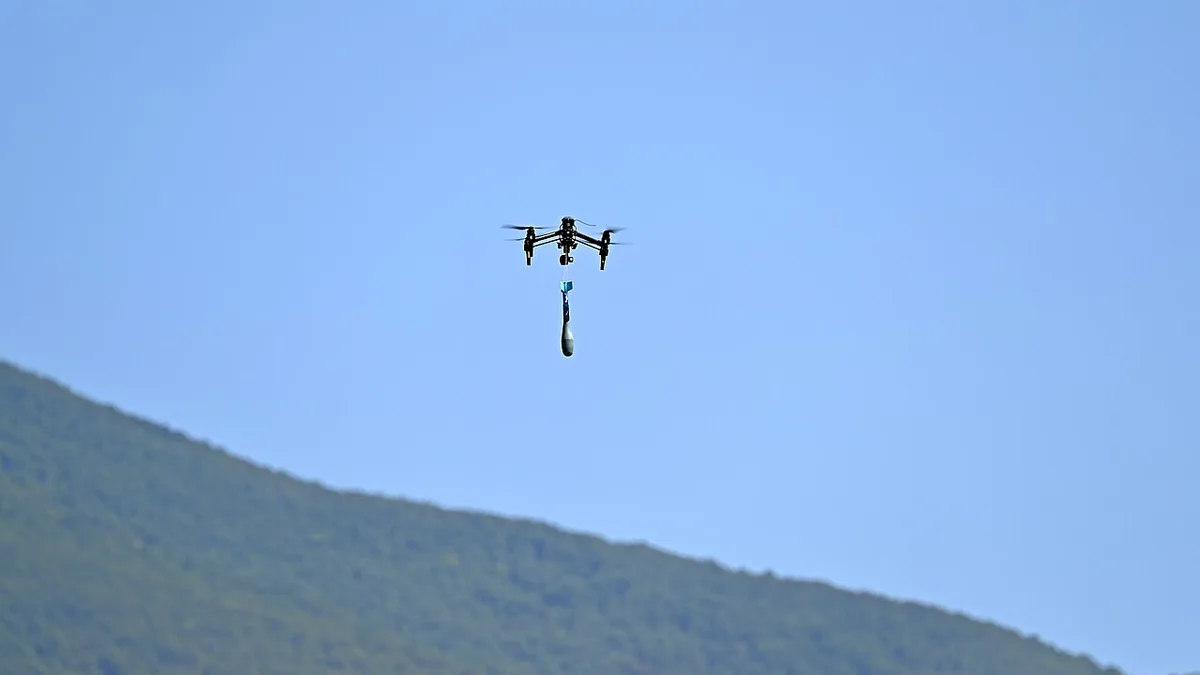
A pre-bid aerial site record can help a project team understand visible access, terrain, neighbouring development, structures, staging and earthwork before pricing or mobilising. It is a planning aid, not a replacement for tender documents, site visits, surveys, utility records or contract clarification.
Define the bid question
List the site, boundary, work package, access, earthwork, staging, structures, roads, drainage, utilities and constraints to document. State the date and the people who will use the output.
Coordinate access and approval
Confirm landowner or client permission, security, nearby homes, roads, crowds, powerlines, equipment, weather and the responsible site contact. A pre-bid deadline does not remove flight or safety requirements.
Document visible pre-bid site conditions
Record map pin, date, viewpoints, weather, areas not visible and conditions that need ground verification. Do not infer soil, title, buried utilities, exact boundary, buildability or quantities from an aerial image alone.
Deliver for estimating
Agree selected photographs, annotated map, short film, orthomosaic, model, report, coordinates and file naming. State assumptions and exclusions so the estimating team does not treat context imagery as a guaranteed quantity.
Read the tender before choosing camera views
Start with the work package and the latest tender drawings. List the questions the estimating team cannot answer easily from those documents. One person may need to understand truck access. Another may want to see the space beside an existing building. A third may want context for proposed earthwork. These questions should guide the images, rather than a generic plan to film the whole site.
Name the audience and decision for each view. A logistics planner may need a wide look at a junction and gate. An earthwork estimator may need a current surface map, which requires a separate survey specification. A safety planner may need to see nearby homes and public routes. Giving each image a purpose makes the final package faster to review.
Record the drawing or map version used to define the site boundary. A line drawn over a drone photograph might show a tender work limit, an approximate discussion area or a legal parcel. Label its source. Do not let a neat overlay imply that the camera verified land title or the exact boundary.
Arrange fair and lawful access
The client should confirm who can enter the land, which parts may be filmed and who will receive the material. In a competitive tender, decide whether one owner-commissioned image set will be shared with all invited bidders. If separate site visits are allowed, give clear rules so bidders do not rely on different, undocumented access. The procurement team should approve the distribution plan.
The site contact should identify the correct gate, security process, work already under way and restricted areas. A plot that looks empty on a map may still have workers, vehicles or community use. The qualified operator must check current airspace, weather, people and hazards for the actual site. A bid deadline does not make an unsafe flight acceptable.
Mark areas not filmed. A neighbouring parcel, concealed roof or restricted service yard should appear as a gap in the coverage note. Bidders should not assume that an unseen area was inspected and found clear because the overview looks complete.
Capture context before close details
Begin with an overview that shows how the property connects to roads and nearby development. Then work through named zones. Views from more than one direction can reveal a slope, drain or retaining wall that one top-down frame hides. Include the approach to the main gate where it is approved; access can matter as much as the work area itself.
Give each frame a view ID, direction and capture date. For example, “View 06: east edge toward existing warehouse.” Add weather and recent rain if they affect what is visible. A puddle on one date does not establish the site's year-round drainage behaviour, but it can give the technical team a question to investigate.
Use ground photographs for small details such as gate openings, surface markers or the condition of a road shoulder. Keep aerial and ground files in the same location index. A close aerial frame with no reference feature can be difficult to place later, while a ground image alone may not show its relation to the whole site.
Turn visible constraints into tender questions
The image may show an overhead line, a mature tree, a narrow approach, an open drain or an existing pile of material. Describe what is visible and cite the image number. “Power line visible across the north approach” is a useful observation. Its height, ownership, protection and possible relocation need utility and survey records.
Do not infer soil bearing capacity, contaminated ground, groundwater, exact buried services or buildability from the appearance of the surface. A patch of wet ground can have many explanations. Put uncertain items into a clarification register with an owner and deadline. The photograph helps people ask a better question; it does not answer every technical one.
The report should list visibility limits. Trees may hide a boundary, vehicles may cover a road edge, and a roof may conceal parts of a structure. Label those places “not visible from the aerial record.” This prevents an estimate from treating a missing image as evidence that no obstacle exists.
Specify mapping before using a quantity
An annotated overview is enough for many bidding discussions. If the tender requires measured distances, areas or earthwork, commission a suitable mapping survey. Define the coordinate system, control, checkpoints, surface coverage, boundary and quality checks. A stitched image that looks like a map is not automatically accurate enough for quantity take-off.
Earthwork estimates also need a base or previous surface, design levels, calculation boundary and material information. A current drone surface is only one input. The estimator should record assumptions and request clarification before treating an image-derived volume as a guaranteed bill quantity. The earthwork handover guide explains these choices in more detail.
If a point cloud or model is delivered, test that the bidder's software can open it and that its units and coordinate reference are documented. A small, clear package with a read-me may help more than a large file no one can load before the deadline.
Use the record in the estimating meeting
Group the images by access, clearing, earthwork, existing structures, utilities and staging. Put the capture date, view direction and drawing reference on each page. Let estimators mark questions, then route each question to the tender clarification process, ground visit or specialist survey. Keep the answer with the image that prompted it.
Separate observed facts from assumptions. “Paved track visible on west side” is a visual observation. “Track can carry delivery trucks” needs load and access evidence. “Open area beside the building” does not establish permission to use it as a laydown yard. This distinction reduces avoidable pricing mistakes.
If the owner issues an addendum after the flight, preserve the earlier image package and label the new drawing version. Do not silently recaption an old photo to make it seem aligned with a later design. A bidder should be able to trace which information version supported its estimate.
Handover a traceable package
The delivery can include a site overview, capture date, numbered stills, map index, coverage gaps, assumptions and agreed source files. The client should approve whether raw images, annotated copies or processed maps may be distributed. Keep a record of the released version and recipients when the tender is confidential.
After award, the record may help plan mobilisation or compare later site conditions. It still does not replace the contract's formal baseline, survey or notice process. For a related preparation list, see the commercial pre-flight checklist. A useful pre-bid flight makes the next site question clearer and easier to assign.
FAQs
Can a drone replace a pre-bid site visit?
No. It can add a shared visual reference; site visits, tender documents, survey and technical investigations remain important.
Can bidders use aerial images to estimate earthwork?
Only when the mapping method, boundary, surface, control, quality and acceptance requirements are defined and suitable.
Can a pre-bid capture be completed quickly?
Timing depends on location, access, weather, equipment, current feasibility and required deliverables; plan a realistic window.
Plan your project
Share your site, dates and intended output so we can confirm a suitable scope.
Construction & Infrastructure · Compare project scope · Get in touch
Related reading
- Construction Site Safety Drone Documentation in India: Practical Guide
- As-Built Drone Survey and Construction Documentation in India
- Construction Crane and Vertical Progress Drone Photography in India
- Cooling-Tower Drone Inspection in India: Visual Scope and Safety Guide
- Industrial Shutdown Drone Inspection Planning in India
- Commercial Facility Handover Drone Documentation in India
Contact SkyViews Aerial Drone Studio at +91 90190 56479 or skyviewsdronestudio@gmail.com. Service area: Bangalore, Karnataka and India and wider Bangalore, Karnataka and India.