Heritage and Monument Drone Photography in India: Documentation Guide
How heritage sites, conservation teams, cultural organisations and tourism projects can plan respectful aerial documentation and visual...
By SkyViews Aerial Drone Studio
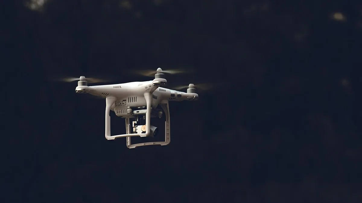
Aerial imagery can help explain a monument’s setting, geometry, landscape and conservation context, but heritage work needs more than a cinematic flight. Permissions, visitor privacy, conservation rules, site access and the difference between documentation and promotion must be agreed before capture.
Define the heritage purpose
Choose conservation record, condition overview, architectural study, tourism communication, restoration progress, archive or education. State the site boundary, structures, details, viewpoints and publication audience.
Coordinate with the authority
Confirm site management, protected-area rules, visitor windows, no-film zones, launch and recovery area, security contact, surrounding property and any restrictions on close approaches. A beautiful location does not remove the need for site-specific approval.
Protect the asset and visitors
Avoid unnecessary low passes, disturbance, identifiable private activity and close capture of visitors. Weather, birds, dust, wind, fragile surfaces and crowds may make ground photography or a different date more appropriate.
Deliver a traceable record
For conservation, include capture date, asset ID, viewpoint, original media, annotated selections, limitations and repeat-capture references. For tourism, separate public edits from archival or sensitive material and describe the current state accurately.
Choose between a record and a visitor story
A conservation team may need repeatable views of a roof, wall or landscape edge. A tourism team may need a short film that helps visitors understand the monument's setting. Both can use aerial images, but they should not share an unexamined shot list. A cinematic pass may be difficult to compare next year, while an archive view may be too plain for a public introduction. Define the purpose of each output and the person who approves it.
Write one question per view. A wide image might show how the monument relates to a historic route, garden or waterbody. A closer frame may show a named roof or external wall for conservation review. A public film may need to show how visitors enter the site. If the question concerns a crack, material loss or hidden structure, the specialist should decide whether the drone image can show it clearly enough or whether ground access is needed.
Use the authority's structure names and site plan. “North enclosure” or an official asset ID will help future staff locate a frame. Do not invent dates or historical functions from visual appearance. Aerial photography can show geometry and visible condition; interpretation belongs to historians, archaeologists and conservation professionals.
Agree the site boundary with its managers
The managing authority should identify protected areas, visitor routes, no-film zones, nearby homes and any security or publication restrictions. Site access and aviation permission are separate checks. A photographer with permission to stand in a courtyard may not have permission to fly above the complex or publish a detailed roof view. The qualified operator must review current airspace, weather and the exact operating area.
Plan a launch and recovery place that does not touch fragile paving, loose masonry or planted areas. Avoid positioning crew and equipment where they block visitors or conservation work. Birds may nest on or around a monument; the local team should identify sensitive periods and places. If a flight could disturb the site or wildlife, choose a different viewpoint or method.
Ask when the site is quiet and when important public activity happens. A conservation record may benefit from an empty window. A tourism film may need human scale but can often achieve it through approved ground footage rather than a drone near a crowd. Keep people and visitor privacy in the plan from the start.
Create a baseline that can be revisited
For a long-term record, choose fixed views that show the whole structure and named elevations. Record camera direction, date, approximate position and site state. Include an overview so every close detail has location context. Store original images as well as marked copies. A future conservator should be able to compare a specific area without guessing which of several similar walls was filmed.
Light and season affect the record. Strong shadows may hide a surface; recent rain can change stone colour; scaffolding may cover part of a facade. Note these conditions on each visit. If a restoration project removes or adds material between captures, pair the images with the conservation team's work log. The picture shows visible change but does not explain the treatment by itself.
If measured mapping or a 3D model is needed, the survey specialist should define control, coordinate system, resolution, validation and file format. A textured model can be visually convincing while hiding gaps on vertical faces, under arches or behind vegetation. Mark areas not represented reliably. Use the archaeological mapping guide for related recordkeeping choices.
Use observation words in the report
An image might show dark staining, a missing-looking tile, vegetation growing near a wall or material placed beside a structure. Describe the visible condition with date and image ID. Do not call it structural danger, chemical decay or a failed conservation treatment unless the responsible professional has assessed it. A mark that appears new may be older but only newly visible under different light.
The report can include an observation table with asset ID, view, visible feature, image quality, limitation and next reviewer. If an area was blocked by a tree or visitor structure, label it not assessed. An empty photo folder should not be read as a clean inspection result.
For urgent-looking concerns, use the site manager's normal escalation route. A drone crew can provide the image promptly, but the authority decides whether to restrict access or ask for technical inspection.
Build a public story with accurate context
The strongest visitor film uses height to explain setting and architecture, then ground footage for human details: entrance, materials, signs, guide interpretation and approved visitor activity. A long overhead orbit alone may be attractive but teach little about the place. Ask the heritage team which facts should accompany each visual.
Keep restored, reconstructed and original elements correctly identified. If a part of the site is closed or under work, do not edit around it and imply unrestricted access. Check opening, access and exhibit claims at publication time. A film made in one season may remain online after paths or visitor rules change.
Credits and cultural context matter. The authority, conservation team and local community may have preferences for how the site is named and represented. Have them review narration and captions, not just the images. A public clip should not reveal a sensitive access route or precise location of an unprotected feature.
Control files and future use
Separate the conservation archive from tourism selects. The archive may include detailed surfaces or restricted areas that are unsuitable for public use. Agree who can download originals, how long they are retained and whether other organisations may reuse them. Put date, asset, viewpoint and version in filenames.
Before publishing, review visitors, neighbouring property, security detail, site rules and factual captions. A selected still may be safe in a report but need a different crop or permission in a paid campaign. Preserve an unmarked source alongside every annotated image so later specialists can revisit the evidence.
A well-planned handover lets a future team identify where a view was made, what it shows and what remained unseen. The monument is the subject, while the drone is one method for understanding and sharing it respectfully.
FAQs
Can every monument be filmed by drone?
No. Feasibility depends on authority approval, airspace, site rules, security, visitors, equipment, weather and the purpose of the work.
Can aerial imagery support restoration progress?
Yes, as a visual record when viewpoints, dates, asset references and limitations are documented. Technical conservation conclusions require the responsible specialists.
Can heritage imagery be used in tourism marketing?
Yes, where publication, credits, permissions, privacy and the site’s current condition are approved.
Plan your project
Share your site, dates and intended output so we can confirm a suitable scope.
Environmental & ESG Monitoring · Compare project scope · Get in touch
Related reading
- Floodplain Drone Mapping and Water-Risk Documentation in India
- Public Park and Landscape Development Drone Documentation in India
- Urban Lake Restoration Drone Monitoring in India: Documentation Guide
- Automotive Drone Photography and Test-Track Films in Bangalore
- Coastal Erosion and Environmental Drone Monitoring in India
- Logistics Yard and Warehouse Drone Progress Monitoring in India
Contact SkyViews Aerial Drone Studio at +91 90190 56479 or skyviewsdronestudio@gmail.com. Service area: Bangalore, Karnataka and India and wider Bangalore, Karnataka and India.