Property Broker Drone Photography in Bangalore: Listing Guide
How brokers can brief aerial photos and video that show property setting, access, scale and buyer-relevant context accurately.
By SkyViews Aerial Drone Studio
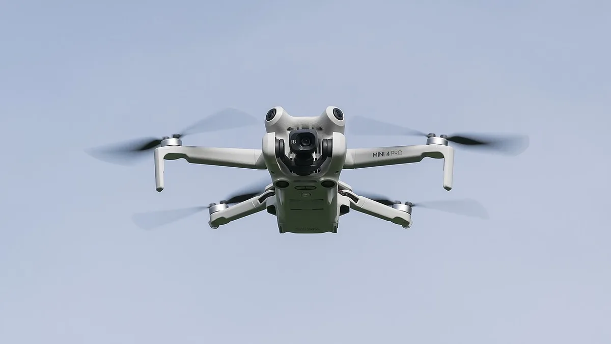
A broker’s aerial listing content should answer the buyer’s practical questions: where is the property, how does it connect to the surroundings, what is the site scale and what is actually complete? Aerial images should support accurate marketing rather than create an attractive but misleading impression.
Brief the listing properly
Send the exact property, map pin, ownership or site permission, property status, audience, listing channel, deadline, shot priorities and no-film areas. State whether it is a villa, apartment, commercial building, plot, farm, warehouse or development land.
Show useful context
Plan approach roads, visible surroundings, access, landscape, building form, plot shape and approved amenities. Avoid unsupported travel times, boundary assumptions or claims about future infrastructure unless the client verifies them.
Plan the deliverables
Choose edited stills, short listing film, vertical reel, 360 asset, raw files, captions, watermark, resolution and usage. Request vertical framing in advance if the listing will be promoted on social media.
Review before publishing
The broker or owner should confirm property status, labels, boundaries, neighbouring views, privacy, logos, music, usage and factual captions. See the real-estate campaign brief and service packages.
Start with the buyer's real questions
A buyer looking at a villa may want to understand the building, garden and approach road. A warehouse tenant may care about truck access and yard space. A plot buyer may ask what is visible nearby and how the land sits relative to roads. A high-rise apartment buyer may want tower position and current amenities. The shot list should follow those questions rather than using the same overhead orbit for every listing.
Write down the property type, target buyer and three facts the aerial images can show. Then list the facts that need other evidence: title, approved area, ownership, price, legal access, approvals and measured dimensions. A photo may make the setting easy to grasp, but it cannot establish those documents. The broker should keep the visual and factual parts of the listing clearly connected without asking the camera to prove too much.
Identify the marketing channels before the shoot. A property portal may need a wide hero still; a social reel needs vertical framing; a brochure may need clean space for text. If several outputs are needed, plan each composition. A horizontal video grabbed later for a vertical advertisement can crop out the road or building the buyer needed to see.
Prepare a factual property sheet
Give the production team the exact map pin, building or plot name, current condition, access gate, areas for filming and no-film zones. Mark whether the property is occupied, under construction, recently completed or only proposed. If renders will be used beside live footage, label them in the edit and supply their approved version.
Ask the owner or authorised representative who can approve the shoot and the use of images. A broker's sales mandate may not answer every question about filming tenants, common areas or neighbouring property. Get the site contact and access instructions before crew call. The qualified pilot still needs to check current airspace, weather and site safety for the location.
Keep a short claim sheet for the editor. It can include verified building names, amenities actually available, the official location description and phrases the owner wants to avoid. Do not ask an editor to infer travel times, plot dimensions or future infrastructure from the footage.
Build a useful shot sequence
Begin with an establishing view that shows the property in its wider setting. Then show the actual approach, the site or building form, and the most relevant outdoor feature. End with a clear view of the entrance or relation to the street. This sequence helps a remote buyer understand where they would arrive and what they would see.
For a plot, a top-down image can show visible land shape and nearby uses. If a line is drawn over it, name the source of that line and label whether it is illustrative or surveyed. A camera cannot find buried markers or certify a legal boundary. Pair the aerial view with survey and title documents in the sales process.
For a built property, show scale without hiding limitations. A high angle can make a courtyard look larger or a road seem closer. Include at least one angle that keeps the entrance and surroundings understandable. Ground photos can show details that the drone cannot: a room, facade finish, gate width or interior condition.
Pick the right time and site condition
The broker and owner should prepare the location before filming. Remove temporary clutter where appropriate, confirm landscaping is ready and check whether construction equipment or parked vehicles will obscure the main view. Do not present an empty, specially arranged site as if it is the normal operating state when that matters to a buyer.
Light and weather affect the story. A late-day view may be attractive but leave a facade in shadow. After rain, water on the ground can change the impression of drainage. Record the date and choose a time that shows the property clearly. If the listing will stay live for months, set a review date so it does not continue using images after major site changes.
Occupied apartments, commercial buildings and neighbourhood streets bring people and privacy into the frame. Choose a safe and respectful window. Avoid unnecessary views into balconies, windows, private yards or neighbouring homes. The owner should review selected images before they are posted publicly.
Separate marketing from documentation
A listing film is meant to be concise and inviting. A dated property record may need more views and labels. Do not rely on a heavily edited reel as the only visual evidence for a buyer or lender. Keep clean stills with dates, and do not remove a visible unfinished area in a way that changes the apparent property status.
If a planned amenity appears in a render, use an explicit “proposed” or “illustrative” label. If the amenity is partly built, say what is visible now. Aerial footage and a 3D visualisation can sit in the same campaign when viewers can tell them apart. The owner must verify claims about opening, approvals and access.
Photographs of neighbouring shops, parks or transit routes can offer useful context, but they do not prove permanent access, partnership or a fixed travel time. Check names and distances with current reliable sources before adding them to captions.
Deliver files ready for the listing team
Specify the number of final stills, hero film length, reel formats, resolution, captions, watermark and raw-media terms in the brief. Name files by property, view and aspect ratio so a portal team can upload the right version. Keep an approved set apart from proofs and drafts.
The broker should test how the lead image looks as a small card on the listing platform. A detailed aerial may become unreadable at thumbnail size. A simpler angled view of the property may draw the buyer into the gallery, while the wider map-like view can appear later to answer location questions.
Agree who owns the image licence and where it may be used. A broker may want the material on its portal, social accounts and paid ads; the owner may want it for a separate campaign. Confirm those uses before delivery. Review music rights for paid promotion and remove any visitor or tenant who should not appear in a public edit.
Keep the listing current
Set a reminder to review the media when the property changes: a new road opens, landscaping is completed, another phase begins, a tenant moves in or an amenity closes. Replace a stale hero image rather than relying on a note hidden deep in the description. Keep the old dated file in the archive but do not let it masquerade as a current view.
For a repeat visit, use similar viewpoints so buyers and owners can see visible change. Add date labels when comparing phases. The real-estate campaign brief can help organise the full production, while the service packages explain how the shoot scope is tailored. A strong listing answers buyer questions with clear pictures and verified facts.
FAQs
Can brokers use aerial images for plot listings?
Yes, when the site, access, privacy, boundaries, property status and current flight feasibility are confirmed.
Can aerial photos prove the plot boundary?
No. They can show visible context; legal boundaries require appropriate documentary and professional verification.
Can one shoot make listing photos and reels?
Yes, if the shot list and framing are planned for both still and vertical outputs before the flight.
Plan your project
Share your site, dates and intended output so we can confirm a suitable scope.
Aerial Imaging & Cinematics · Compare project scope · Get in touch
Related reading
- Architecture Aerial Photography in Bangalore: A Guide for Architects & Developers
- Architecture Competition Drone Photography in India: Submission Guide
- Campus Drone Photography in Bangalore: Corporate, School & Institutional Sites
- Drone Service RFP Scope Template for India Projects
- Recurring Drone Service Retainer Planning in India: Scope and Reporting Guide
- How to Read a Drone Inspection Report: Client Review Guide
Contact SkyViews Aerial Drone Studio at +91 90190 56479 or skyviewsdronestudio@gmail.com. Service area: Bangalore, Karnataka and India and wider Bangalore, Karnataka and India.