Recurring Drone Monitoring: A Monthly Reporting Framework for Indian
How construction, infrastructure and facility teams can turn repeated drone capture into a consistent management report.
By SkyViews Aerial Drone Studio
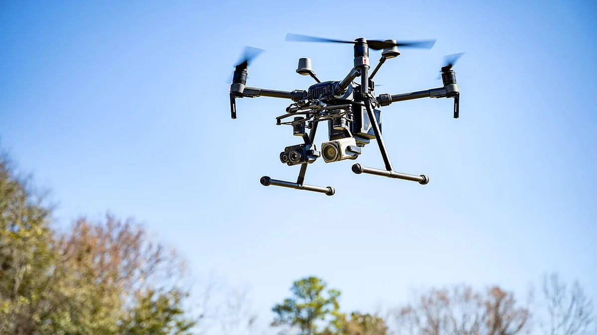
A monthly drone flight can produce a fresh set of images without producing a useful monitoring record. If the team changes viewpoints, names or report format each time, managers may struggle to tell whether the site changed or only the camera angle changed. A recurring programme works when each visit answers the same core questions and records the exceptions.
This framework is for construction, infrastructure, industrial and facility teams in India. It sets out how to define a baseline, repeat capture, write a short report and preserve the evidence. The cadence can be monthly, but the method also works for milestone visits. Aerial imagery documents visible conditions; the responsible project specialists still make engineering, safety and contractual decisions.
Setting Up a Repeatable Monitoring Baseline
State the decision before setting the schedule
Ask what the report should help someone decide. A developer may need a clear visual record for an investor meeting. A site manager may need to identify blocked access routes. A facility team may need to see whether a roof condition appears to be changing. A project controls team may need images linked to work packages. These are different questions, so a single generic photo folder will not serve them equally well.
Write a short list of recurring questions, such as “Which work zones visibly changed since the previous visit?” and “Which agreed areas could not be observed?” Name the reader who will use the answers. Then choose the visit frequency. Fast-changing work may need more frequent capture near a milestone; a stable facility may need less. A calendar month is a convenient reporting unit, not a guarantee that every month is equally informative.
Agree when a visit should be moved. Weather, access, active lifting, site restrictions and flight feasibility can change. The schedule should allow a safe alternative window. Record the actual date in every report so a delayed visit is not presented as if it occurred on the planned day.
Create a baseline that later visits can use
The first visit should define the site boundary, asset or zone names, reference viewpoints and output format. Save an overview map that shows each zone and intended camera direction. Record the capture date, visible work stage and areas that were inaccessible. Without this baseline, later reviewers may compare photographs of different areas and draw a false conclusion.
Choose a manageable set of fixed views. A wide site view can show the overall layout. Zone views can show work fronts, roads, roofs or storage areas. Detail views can be added for a current question but should not replace the reference set without explanation. Give each reference view a stable ID, such as V01, V02 and V03, so the report can line up one visit with the next.
The baseline is not frozen forever. A new building may hide an old view or a safe take-off area may move. When a reference changes, mark the replacement, explain why and keep the old view history. A short overlap period with both old and new views can help the reader understand the transition.
Use the same field checklist each visit
Before arriving, confirm the site contact, planned zones, active operations, access, known restrictions and the reporting question for that visit. On site, the crew checks weather, launch and recovery areas, people and vehicles, nearby structures, equipment and any local flight constraints. The pilot makes the flight decision based on current conditions.
Use a capture list with the reference view IDs. After each view, record whether it was captured, replaced or missed. If a crane or temporary barrier blocks the intended frame, note it. Do not silently use a different angle and label it as the same view. A comparison is only useful if the reader knows what was held constant and what changed.
Keep file naming consistent. A name can include project, visit date, zone, view ID and sequence. Store the actual capture time in the index if timing matters. The crew should also note unusual conditions such as heavy rain before the flight, a partly closed work area or temporary materials covering a surface. These details often explain apparent changes in the pictures.
Standardized Comparison & Actionable Reporting
Make comparison fair
Place the current and previous views side by side with dates and labels. Match framing as closely as practical, but do not force a crop that hides relevant surroundings. Daylight, shadows, seasons, water levels and temporary equipment can alter appearance. The report should call out these factors when they affect interpretation.
For a construction site, compare work zones and visible milestones, not just a total count of photographs. For a roof, show the same parapet or drain area and state if an obstruction prevented a clear view. For a road corridor, use chainage or segment IDs so the reader can find the same stretch. A comparison table can list each zone, previous status, current visible change and any follow-up required.
If mapping products are used, state the area covered and the method used. A measured area or volume needs a suitable survey workflow and quality checks. Do not derive quantities from a casual visual comparison. Keep image-based observations separate from measurements and from a project manager's certified progress figure.
Write a report that leads to action
The first page should be readable by someone with five minutes. Include the visit date, coverage achieved, two or three main visible changes, important gaps, and decisions or checks requested. Follow with zone-by-zone images, annotations and source links. A long photo deck without a summary makes busy readers do the sorting themselves.
Use plain labels. “North drainage trench appears open along the eastern section” is more useful than “progress ongoing”. Where the image is unclear, say so. An annotation should point to a visible feature, not claim a cause the camera cannot establish. If a concern needs an engineer or site inspection, name that next step rather than turning it into a drone conclusion.
Add an exceptions section. It should list missed zones, access changes, flight limits, equipment issues and data gaps. A missed view is an important finding about the coverage of the report. It does not mean the area has no issue. Include the agreed owner and due date for a follow-up when one is needed.
Keep observation, interpretation and action separate
Use three levels in the report. The observation states what the image shows. The interpretation explains what a qualified reviewer thinks it may mean. The action assigns a check or task. For example: “Pooled water visible near the west roof drain” is an observation. “Drainage may be restricted” is a possible interpretation. “Facility manager to arrange a safe ground inspection” is an action.
This structure reduces disputes. A contractor can inspect the original image, a manager can see who made the interpretation, and the team can later close the action with evidence. It also keeps the drone crew from being asked to certify work outside the agreed scope.
Use a simple status list for actions, such as open, assigned, checked and closed. Record the date and person who changed a status. A concern should not disappear from the next report just because a new set of pictures arrived. Link the new image to the earlier observation and explain whether it is resolved, unchanged or still uncertain.
Data Governance & Program Review
Control versions and source files
Store original images, processed exports, report files and approvals in separate, clearly named folders. Give each report a version number and an issue date. If a number, caption or marked area changes after client review, keep a record of the revision. The current approved report should be easy to identify.
Check that image links work after handover. If a reporting platform moves or renames files, an index should preserve the relationship between view ID, capture date and source. Set permissions for restricted site information and decide what may be shared publicly. A marketing edit and an operational record may use the same capture but need different access and approval.
When a contractor, project boundary or reporting owner changes, create a brief continuity note. It should say what changed and which IDs remain valid. This helps a new team continue the series without losing the meaning of earlier reports.
Review the framework after a few visits
After two or three cycles, ask the report readers which pages they used and which questions remain unanswered. Remove views that never help a decision, add a view where a repeated blind spot exists, and improve labels that caused confusion. Keep a record of the change. A useful framework becomes more focused over time while preserving enough continuity for comparison.
The simplest test is whether a reader can answer four questions: what changed, what did not change, what could not be seen, and who will check the open issues. If the report supports those answers with dated source images, the recurring flight has become a management record rather than a monthly photo ritual.
For related planning, see the recurring service retainer guide and construction KPI reporting guide.
Plan your project
Share your site, dates and intended output so we can confirm a suitable scope.
Construction & Infrastructure · Compare project scope · Get in touch
Related reading
- Recurring Drone Service Retainer Planning in India: Scope and Reporting Guide
- Construction Drone KPI and Progress Reporting Guide for India
- Construction Drone Progress Monitoring in Bangalore: A Practical Guide
- Drone Mapping for Urban Road and Traffic Planning in India
- Drone Roof and Facade Surveys for Facility Maintenance Teams
- Drone Imagery for ESG and Environmental Baseline Reporting in India
Contact SkyViews Aerial Drone Studio at +91 90190 56479 or skyviewsdronestudio@gmail.com. Service area: Bangalore, Karnataka and India and wider Bangalore, Karnataka and India.