Wind Farm Construction Drone Progress Monitoring in India
How renewable-energy teams can document turbine foundations, roads, cabling, substations and installation milestones with repeatable aerial...
By SkyViews Aerial Drone Studio
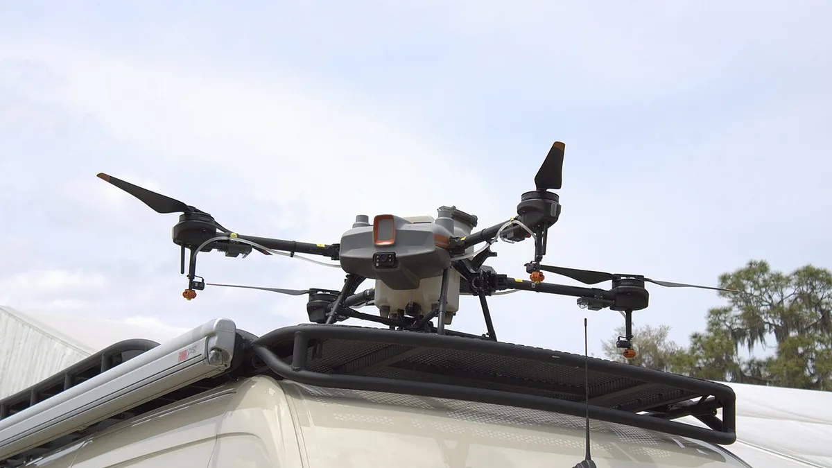
A wind-farm project can spread across many kilometres. One turbine location may have a finished foundation while another still needs road access, a crane pad or cable work. Dated aerial imagery can put these pieces in one visible record for owners, contractors and lenders. It helps teams see where work stands and what needs a closer check. It does not prove that a turbine is commissioned or that a hidden construction item meets specification.
This guide explains how to plan drone progress documentation for wind-farm construction in India. It covers work-package IDs, safe capture, comparison and handover. The pilot and site team must assess the actual route, weather and operations for every visit. The project engineer and contractor remain responsible for measurements, quality records and formal milestone approval.
Work Package Scoping & Baseline Capture
Divide the project into work packages
Start with the project's own codes for turbine locations, foundations, roads, cable corridors, crane pads, laydown areas and the substation. Use these codes in the image index. A view labelled only “Turbine 7 area” may be too broad if it shows a foundation, access road and storage yard at different stages.
For each package, state what the aerial record should show. A foundation overview may show visible excavation or finished surface. A road view may show route continuity and current access. A laydown-area view may show use of space. A substation exterior view may show visible construction stage. Do not ask the camera to certify concrete quality, cable depth or electrical readiness.
Mark the site boundary and any land or habitat areas that must not be entered or filmed. A long route should be divided into flight sections with clear coverage goals. The project map and asset IDs should follow the same convention used by the construction team so the report fits its meetings.
Set a baseline before rapid construction
Capture an early dated record of roads, terrain, vegetation, existing structures and planned work areas. Keep the boundary source and survey status clear. An image can show current surface condition, but it does not settle land rights or confirm the surveyed position of a parcel edge.
Choose repeatable views of key turbine sites and shared infrastructure. A wide view helps locate a package; a closer view helps identify visible change. Record camera direction and approximate viewpoint. Construction may later make a viewpoint unusable, so keep a replacement view linked to the old one rather than silently changing the comparison.
The baseline should record gaps. A slope may hide the back of a crane pad. A temporary fence may block a road section. A remote route may be inaccessible after rain. State these limits so later readers know what was actually observed.
Plan around wind and heavy work
Wind is part of the environment at a wind-energy site, but it is also a flight constraint. The pilot must assess the actual conditions, aircraft limits and terrain. A schedule should include weather alternatives. Do not assume that a progress meeting date can force a safe flight.
Crane lifts, long loads, moving plant and electrical work need direct coordination with the site controller. The crew should know the daily work plan, exclusion zones, access roads, communication method and stop signal. A remote site is not automatically quiet or simple. Vehicle movement may be fast, and the nearest recovery area may be far away.
Review overhead lines, slopes, towers, wildlife and neighbouring land. The site team should identify areas where a drone could disturb sensitive activity or collect information that should be restricted. If an essential view cannot be flown safely, record the gap and consider a ground or other approved method.
Repeatable Capture & Milestone Verification
Capture progress in a repeatable sequence
Use the same general order at each visit: site overview, access route, each turbine location, shared electrical works and laydown areas. Give every view a stable ID. A pilot can add a close view for a new issue, but the core reference views should remain. This makes monthly or milestone comparisons easier.
Record the visit date and visible project stage. Aerial images taken on different dates should not be combined into one undated project map. If site areas are captured over several days because of weather, show the actual date for each area.
Take stills that are clear enough for review, not only cinematic passes. A fast flight can produce a compelling film but may make it difficult to identify a road crossing or foundation edge. Pair wide context with closer, steady views. Keep the original files linked to any annotated progress report.
Separate visible work from certified milestones
The image can show that a turbine tower is standing, blades are visible or a road appears surfaced. It cannot prove that bolts were checked, cable tests passed or commissioning was accepted. Use language such as “visible tower installation at T12 on the capture date” rather than “T12 is ready to operate” unless that fact comes from the authorised technical record.
The same rule applies to quantities. A drone-derived earthwork volume or measured road length needs a defined survey method, control, accuracy check and acceptance process. A photo comparison is not a substitute. If measurement is in scope, agree the method before capture and report uncertainty with the result.
Use the images alongside contractor schedules, inspection forms and test records. The report can point to the package that needs verification, while the responsible project team signs off the milestone through its formal process.
Build a report for several audiences
An owner may want a one-page summary by package: what is visibly new, what is unchanged, what was not captured and what needs attention. A construction manager may want detailed photographs and locations. An investor update may need a small approved selection with verified captions. Plan these layers from one source archive rather than asking the pilot to produce a different interpretation for each audience.
Use a simple status table keyed to turbine and package IDs. Link each entry to current and prior images. A note such as “access road to T08 visibly extended beyond the previous turnaround” is useful because it names the feature and comparison. It does not claim final acceptance or measured length.
Include an exceptions list. Poor weather, active lifts, a blocked route or an inaccessible parcel may prevent capture. A blank image slot should not look like evidence that no work happened. Assign a follow-up owner when the missing view affects a decision.
Geospatial Integrity & Reporting Reviews
Map terrain only when the method fits
Early access planning may benefit from a terrain or corridor map, but the required accuracy depends on the decision. A visual mosaic can orient teams. A design or quantity calculation needs appropriate control, processing, validation and survey review. Trees and steep ground can hide the surface, so a model may not represent bare terrain everywhere.
State the coordinate system, boundary source and known gaps in the handover. Keep the source images and processing notes. A map that appears seamless can still contain areas with poor visibility; the project team needs to know where field survey remains necessary.
Protect site and land information
Wind projects may include landowner boundaries, access agreements and electrical infrastructure. Decide who can receive detailed maps and raw footage. An approved public image may not need every road, cable route or neighbouring property labelled. Review people, vehicles and private land before publication.
Keep public communication accurate. A montage can make scattered installed turbines look like the entire project is complete. Use a date and a verified project status in captions. Do not claim energy generation from the appearance of a spinning rotor or completed tower; operational data and project records are the proper source.
Example: a monthly package review
Suppose a project has twelve turbine locations. The first visit records road access and foundation work at each location. The second visit shows visible tower sections at four sites, finished-looking pads at three, and one route blocked from capture by active lifting. The report shows the four installation views, marks the pad condition as visual, and records the missed route. It sends the completion question to the construction manager and the lift-day gap to the next approved visit.
That report lets the team discuss the project without treating a photograph as a certificate. The archive stays useful because the IDs, dates, viewpoints and missing areas are clear. The same approach can continue through handover and later inspection planning.
For related work, see the wind-turbine inspection guide and solar construction guide.
Plan your project
Share your site, dates and intended output so we can confirm a suitable scope.
Construction & Infrastructure · Compare project scope · Get in touch
Related reading
- Solar Farm Construction Drone Progress Monitoring in India
- Construction Drone Progress Monitoring in Bangalore: A Practical Guide
- Construction Crane and Vertical Progress Drone Photography in India
- Railway Station Redevelopment Drone Documentation in India
- Apartment Handover Drone Documentation in Bangalore: Practical Guide
- Farmland Drainage and Irrigation Drone Mapping in Karnataka
Contact SkyViews Aerial Drone Studio at +91 90190 56479 or skyviewsdronestudio@gmail.com. Service area: Bangalore, Karnataka and India and wider Bangalore, Karnataka and India.