Construction Site Safety Drone Documentation in India: Practical Guide
How project teams can use aerial imagery to support visible site coordination, access review and hazard communication without replacing...
By SkyViews Aerial Drone Studio
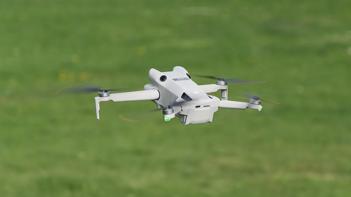
Aerial imagery can help a construction team see access roads, staging, cranes, work fronts, temporary works and site boundaries from a shared perspective. It is a visual coordination aid—not a replacement for a competent safety officer, formal inspection or statutory compliance process.
Define the safety use
Choose access and logistics review, crane context, housekeeping visibility, perimeter, temporary works, progress coordination or a briefing image. State the site zones, frequency, audience and whether the material is internal only.
Coordinate with the safety team
Identify cranes, cables, lifting, vehicles, workers, excavation, water, power, restricted areas, emergency routes and the site contact. The pilot should receive the site induction and the authority to stop when ground conditions or weather change.
Describe visible safety conditions carefully
Use dated images and annotations such as “material stored beside the east access route” rather than declaring a statutory breach or assigning responsibility. Link observations to a frame and have the site safety professional interpret and act on them.
Protect people and records
Avoid unnecessary filming of workers, private areas and neighbouring property. Keep originals, report versions and access controls clear. Combine the output with the construction KPI guide and pre-flight checklist.
Give the safety team a specific question
“Fly the site for safety” is not a useful instruction. The safety lead may want to review an access route before a large delivery, see how materials are stored near a work front, or give new contractors a current overview of cranes and exclusion areas. Pick the question, the site zones and the person who will act on the result. A drone image can provide a shared view; it cannot observe every task, test temporary works or replace a walk-through by competent staff.
The pilot should not become the site's safety auditor by accident. Agree on a simple role: collect the planned views and promptly pass on any obvious concern through the site's reporting route. The safety officer interprets the concern, checks it on the ground and records any corrective action. This keeps the evidence useful without pretending that a camera angle is a compliance verdict.
Plan a flight that does not create a hazard
Ask for the current site layout, lifting plan, crane zones, powerlines, excavation edges, traffic routes, temporary structures, worker areas and emergency access. Attend the required induction. Choose a launch point away from vehicles and material handling. Agree on a stop signal and who can call it. If a crane starts moving into a planned route, the crew should wait or change the shot. Aerial observation has no value if the drone itself distracts workers or interferes with the operation.
Check current airspace and weather, but also look at local wind around high buildings and cranes. Dust can affect visibility. A pilot may need a spotter where the site has complex obstacles. Keep a safe landing option if a planned recovery area becomes occupied. Never ask a worker to stand by an open edge to provide a scale reference. NIOSH's construction fall-prevention guidance is a reminder that work near roofs and edges needs formal controls (NIOSH guidance); a drone photo does not supply those controls.
Capture a site overview before details
Begin with an image that shows the whole site and the names of main zones. Then capture the agreed access, storage, crane, excavation or perimeter areas in a stable order. Take a wide locator frame for each detailed observation. Use the site's existing block, grid or chainage labels. If a route is hidden under scaffolding or a work zone is blocked by a building, mark it as not visible. Do not treat a missing photo as evidence that no issue exists.
Repeat visits should use similar viewpoints when safe. Record the date, time, weather and active work. A truck parked across an access path in one image may have moved five minutes later; the image needs a timestamp and a follow-up check. A temporary pile may have a planned removal time. The safety team can use the view to ask a question, but must verify the current condition before issuing an instruction.
Use plain, neutral observation wording
Write what the frame shows: “material is visible beside the east pedestrian route at 10:30” or “the north gate view is blocked by a parked vehicle.” Avoid “contractor violated safety rules” unless a competent reviewer has applied the relevant rule and site facts. An overhead image may hide barricades, signs, spotters or ground-level conditions. It also may make two objects appear closer than they are. Add the image reference and a note about the viewing limit.
An observation table can have zone, frame, visible condition, current status check, reviewer, action owner and closure date. The last four fields belong to the site team. If a concern looks urgent, call the safety lead during the visit instead of waiting for the report. Document the call, but let the site's emergency and stop-work process govern the response. A polished PDF is not the right first channel for time-sensitive information.
Turn images into a briefing aid
A current overview can help a new contractor understand entrances, one-way vehicle routes, laydown areas and no-go zones. Use large, readable labels and a capture date. Ask the safety team to check that the route is still valid before each briefing. A drone image from last month may be dangerously out of date on a fast-moving site. The image should sit beside the current site rules and a ground orientation, not replace them.
For a toolbox talk, select one or two relevant frames rather than a long film. A marked image can show the route or work-front context, while the supervisor explains the actual control. Keep worker faces and unrelated neighbouring property out of shared training slides where possible. If a contractor disputes a label, the safety team can review the original and issue a corrected version.
Separate progress, safety and commercial records
The same flight may support a project update, but each use needs its own captions and reviewer. Progress asks what has visibly changed. Safety asks what needs a check today. Commercial measurement asks for an agreed quantity and method. Do not copy a safety observation into an investor film or turn a visible work front into a certified milestone. The construction KPI guide explains how to keep these evidence types separate.
Set permissions for raw files. They may show worker locations, site security, neighbouring homes or contractor methods. The safety team may need high-resolution frames; public communications may need a small approved selection. Keep an archive of the original, annotated and corrected versions so an image can be traced later without spreading unnecessary personal detail.
Example: planning a large delivery
Suppose a project will bring a large facade unit through the south gate. The safety manager wants to review the visible route, turning space and nearby storage before the lift plan meeting. The pilot captures a whole-site view and closer route views during a quiet window. One frame shows stacked material near the proposed turn. The report says exactly where and when it was visible. The safety manager checks the site, confirms whether the stack is still there and decides whether it must move. The lifting team uses its formal plan for the operation.
A week later, a new aerial frame may show the area clear, but the safety manager still checks the current ground condition before the delivery. The drone record helped people see the route and coordinate changes; it did not approve the lift. That distinction makes the imagery both useful and honest.
A short brief for the first visit
Share the site plan, named zones, question to answer, current activity schedule, safety contact, restricted areas and intended recipients. Ask the crew for a safe capture plan, a dated overview, labelled frames, limitations and a prompt notification route for urgent observations. Agree who reviews the report, who owns actions and when old images should be removed from active briefing material. The goal is a clearer conversation on site, followed by the normal professional checks and controls.
FAQs
Can aerial imagery replace a site safety inspection?
No. It can support visual coordination, while formal safety inspections and corrective actions remain the responsibility of the competent project team.
Can drones document crane and excavation areas?
They may, subject to site safety, access, equipment, weather, people separation and current flight feasibility.
Can the images be shared with contractors?
Yes, after the project team reviews privacy, accuracy, confidentiality and the purpose of the communication.
Plan your project
Share your site, dates and intended output so we can confirm a suitable scope.
Construction & Infrastructure · Compare project scope · Get in touch
Related reading
- As-Built Drone Survey and Construction Documentation in India
- Construction Drone Documentation for Disputes and Claims: Practical Guide
- Construction Pre-Bid Drone Site Reconnaissance in India
- Manufacturing Plant Expansion Drone Documentation in India
- Real-Estate Investor Data-Room Drone Visuals: Documentation Guide
- Property Broker Drone Photography in Bangalore: Listing Guide
Contact SkyViews Aerial Drone Studio at +91 90190 56479 or skyviewsdronestudio@gmail.com. Service area: Bangalore, Karnataka and India and wider Bangalore, Karnataka and India.