Eco-Resort and Wildlife Conservation Drone Storytelling in India
How responsible tourism and conservation teams can plan landscape storytelling without disturbing wildlife, communities or sensitive habitats.
By SkyViews Aerial Drone Studio
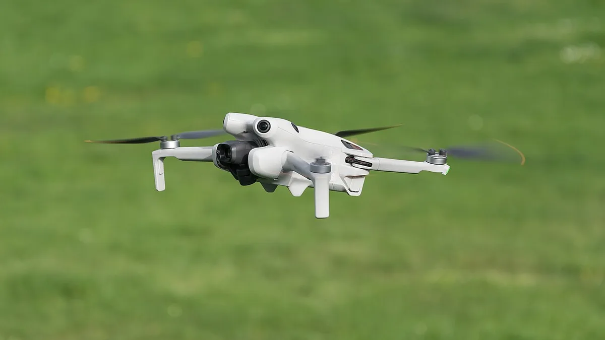
Aerial storytelling can help explain an eco-resort’s setting or a conservation project’s landscape, but wildlife and community sensitivity must lead the production. The most valuable image is not necessarily the closest or most dramatic one.
Define the responsible story
Choose habitat context, restoration, water, trails, architecture, community work, seasonal change or guest education. State who will view the content, where it will be published and what locations or species must remain private.
Coordinate with local experts
Work with the reserve, forest, community or property contact to understand access, nesting, migration, noise, visitor rules, private homes and seasonal restrictions. Use a ground-based alternative where an aerial flight could disturb wildlife.
Avoid misleading environmental claims
Date the imagery, identify the location and describe what is visible. Do not imply that a property is entirely untouched, that a species is always present or that a conservation outcome is proven by one aerial sequence.
Protect the final media
Review faces, homes, routes, sensitive habitats and species locations before publication. Separate public tourism edits from restricted research or conservation data.
Make the story about the place, not a wildlife chase
An eco-resort can tell a useful story through the setting, design, walking routes, water and people who care for the place. A conservation project can show where restoration work sits in the wider landscape. Neither story requires a drone to follow an animal. A wide view of habitat can explain context while ground cameras and approved existing material show details without pressuring wildlife.
Write the one thing the viewer should understand. A guest may ask how the resort connects to trails and local scenery. A donor may ask which area was planted or restored. A community audience may want to see how access and livelihoods fit the project. Each question suggests different images and captions. A generic dramatic wildlife montage can obscure the actual work.
Plan a beginning, middle and end. Start with a broad view that locates the site. Use ground footage for people, building materials, signs and small conservation actions. End with a current, accurate view of the experience or the area under care. The narrative should identify what is real now and what is a future plan.
Ask the local team to set boundaries
The property manager, local guides, community partners and relevant authority may each know different parts of the site. Ask about nesting, feeding and migration areas, visitor routes, seasonal closure, private homes and places where sound or movement would disturb animals. Mark those areas as excluded before the crew arrives. If the site is near a protected area, the responsible authority must confirm what access and filming are allowed; a resort's permission alone may not cover nearby land.
Choose launch and recovery places on already-used, appropriate ground. Avoid sending the crew into fragile vegetation for a better angle. Plan for guests, guides and workers who may move through the proposed flight area. The pilot must check current airspace, weather and site conditions for the exact day. If the safe plan cannot be met, use a ground view or existing approved image instead.
The National Tiger Conservation Authority's tourism guidance emphasises low-impact wildlife tourism and local community involvement around tiger reserves. That is a useful planning principle, while the actual site's rules and permissions determine what a specific crew may do. Do not assume a general tourism message authorises a drone flight in or near a protected area.
Film people with clear participation rules
Resort staff, local guides, community members and guests should know how footage will be used. A staff member giving a tour may be comfortable in a training film but not in a paid advertisement. Agree consent, credits and use before filming identifiable people. Take extra care with children and anyone who is not part of the production.
Do not use a distant aerial frame to avoid having a conversation about people in the shot. Homes, farms and work areas can still be recognisable from above. Frame the landscape needed for the story and avoid unnecessary views of private activity. A public version can use selected wide views while a restricted project archive may keep more location detail.
Where the story mentions community benefit, ask the local partner to approve the wording. A photograph of a craft demonstration does not prove that tourism revenue reaches the maker or that a programme has a particular outcome. Let the people responsible for the work provide verified facts and decide how their contribution is represented.
Show the season honestly
Rain, leaf cover, water level and light can make the same property look very different across the year. Record the date and season of the shoot. A lush monsoon view should not be presented as the appearance guests will always find. A stream may be seasonal. A trail shown in one month may be closed later for weather, maintenance or wildlife protection.
For a repeat film, keep a few stable viewpoints and record conditions. Aerial comparisons can show visible change in planting or water, but they do not prove ecological success. Survival rates, species use, soil condition and other outcomes require field data and expert interpretation. Captions should say what the camera shows and where further evidence comes from.
If the resort markets “untouched nature,” review that phrase carefully. Buildings, paths and management are part of the scene. A more accurate story may explain how the property reduces impact and what evidence supports that claim. Visual beauty is not proof of a measured environmental result.
Use the right footage for each channel
A website hero can use a calm, broad view of the property and landscape. A short social clip may focus on one guest journey. A donor update may use a dated overview of a restoration plot with labels. A conservation archive may need repeatable stills and precise metadata rather than a music-led film. Write each output in the brief.
Request deliberate still photographs for brochures or reports. A video frame may lack sharpness or a useful layout. For vertical social media, plan a separate composition or generous crop space. Leave room for captions that explain season and location without covering the subject.
Agree the music, narration, raw footage, usage rights and language versions before editing. A partner organisation may want a different credit or wording from a commercial resort advertisement. Keep drafts and approved versions separate so a restricted image is not accidentally posted.
Review the final media in stages
First check whether the film explains the promised experience or conservation question. Then ask the site and local partners to review wildlife, privacy, location sensitivity and cultural representation. Finally check factual statements: current access, season, species, project stage and any environmental claim. One person should consolidate comments for the editor.
Remove precise routes or coordinates to sensitive habitat when public exposure could cause harm. The restricted archive can still retain the location for authorised monitoring. Put a capture date on research or progress images. If footage from different seasons is combined in one public film, avoid an edit that suggests all scenes happened on one visit.
Handover a responsible media package
The package can include an approved public film, short channel edits, selected stills, captions, credits and a separate restricted archive if commissioned. Document which files may be used for advertising, education or internal conservation work. Name the person who can approve future reuse. A later campaign should not republish an old trail, waterbody or wildlife claim without checking whether it is still accurate.
For broader planning, see the forest-restoration monitoring guide and privacy guide. Responsible aerial storytelling makes the place understandable while respecting the people and wildlife that make it worth visiting.
FAQs
Can eco-resorts use drones near wildlife?
Only where the responsible authority, property and pilot confirm that access, wildlife sensitivity, safety and current requirements allow it.
Can drone imagery prove conservation success?
It can document visible conditions and change, while success requires appropriate ecological measures, time series and expert interpretation.
Can the same location be filmed every season?
Yes, if the method is approved, disturbance is avoided and dates, weather and environmental conditions are recorded.
Plan your project
Share your site, dates and intended output so we can confirm a suitable scope.
Tourism & Hospitality · Compare project scope · Get in touch
Related reading
- Airport and Aviation Facility Drone Documentation in India: Planning Guide
- Coastal Erosion and Environmental Drone Monitoring in India
- Drone Damage Mapping for Emergency Response in India: A Field Planning Guide
- Construction Site Safety Drone Documentation in India: Practical Guide
- Manufacturing Plant Expansion Drone Documentation in India
- Real-Estate Investor Data-Room Drone Visuals: Documentation Guide
Contact SkyViews Aerial Drone Studio at +91 90190 56479 or skyviewsdronestudio@gmail.com. Service area: Bangalore, Karnataka and India and wider Bangalore, Karnataka and India.