Real-Estate Investor Data-Room Drone Visuals: Documentation Guide
How developers and asset teams can prepare dated aerial visuals, progress records and site context for investor and lender review.
By SkyViews Aerial Drone Studio
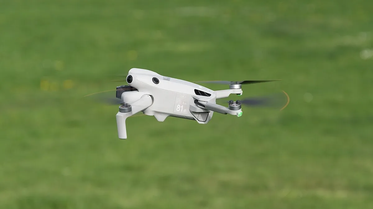
Aerial visuals in an investor or lender data room should be clear, dated, traceable and accurate about what they show. They can improve site context and progress communication, but they should not be presented as a substitute for legal, financial, valuation, engineering or title due diligence.
Build a repeatable record
Define the site boundary, project phase, access, roads, neighbouring development, construction milestones, amenities, visible risks and capture cadence. Use consistent viewpoints and filenames so a reviewer can compare updates.
Prepare the handover
Separate original media, selected stills, edited film, annotated comparisons, maps, reports and readme notes. Record capture date, weather, visible areas, exclusions, version and who approved the captions.
Keep claims supportable
Describe visible construction or site conditions without claiming ownership, completion, approval, value, sales performance or future access. If a rendered amenity or planned building appears in a presentation, label it as proposed or illustrative.
Control access and rights
Agree who can download the material, how long it is retained, whether partners can reuse it and which images are suitable for a public listing. See the due-diligence guide and media archive guide.
Decide what an investor needs to understand
An investor may be looking at a land parcel, a building under construction, a completed rental asset or a portfolio of properties. Each question is different. A land investor may need current access and surrounding use. A construction lender may want a dated view of visible work stages. A buyer of an operating building may want roof, yard and approach context. Write the purpose of the visual package before asking for a flight.
The data room should give reviewers a clear path from a summary image to the source record. A film can orient them, but still images and labels are easier to cite during questions. A useful first page can show the site on a map, capture date, project stage and a list of what the aerial set covers. It should also say what it does not verify.
Ask the transaction team what claims are already supported by formal documents. The aerial record can illustrate a completed-looking access road, but it cannot establish that the road is public or legally available. It can show a roof from above, but cannot certify its condition. Keeping the legal, financial and technical records beside the images makes the package more credible.
Establish a dated site baseline
Give the crew an approved boundary and the project's own block or phase names. Mark buildings, approach roads, amenities, open areas, yards and neighbouring property. Choose wide views that show how the asset sits in its surroundings, then closer views for named parts. A location index should let a reviewer find any image without asking the editor what “Drone Final 12” means.
Record date, time, weather and visible construction state. An investor may return to the room months later, after the site has changed. A clear date stops an old image from being read as a current condition. If a milestone report includes images from several visits, put each date on the individual frame, not only on the cover.
Keep clean originals and an image log. A presentation crop may remove context or make a feature look larger. The source file lets a reviewer inspect the whole frame. If a property boundary or proposed building is drawn over the image, preserve an unmarked copy and label the overlay's source and status.
Build a comparison that does not mislead
For recurring progress, choose a small set of stable viewpoints. Give each one a view ID and direction. Compare the same block at similar scale where safe and practical. If access, light, crane position or weather forces a change, disclose it. A more dramatic angle should not be used to imply faster progress.
The project team may provide milestone names, dates or completion percentages. Attribute those figures to its formal report. The camera can show visible structure, facade or landscape. It cannot confirm hidden work, test results or contractual certification. A caption such as “north facade visible on the capture date” stays within the evidence; “tower fully complete” may need formal sign-off.
If a map or 3D model is requested, agree whether it is a visual aid or a measured deliverable. A measured product needs coordinate reference, control, quality checks and a responsible reviewer. A good-looking model is not a substitute for a survey. The data room should show the method and limitations next to any quantity derived from it.
Separate current, proposed and illustrative views
Property presentations often mix live footage, design renders and planned amenities. Use clear labels throughout. “Current aerial view, 19 October” and “illustrative future landscape” should never be cut together in a way that suggests the proposed feature already exists. If a road or transit connection is only planned, state its status and source.
Review neighbouring buildings and background activity. A camera may show a nearby development whose stage or owner is unknown. Do not use it to imply a partnership or guaranteed amenity. A landscape visible in one season may look different later. The report should not turn visual proximity into an unsupported travel-time or access claim.
When a defect or unfinished area is visible, do not crop it solely to create a cleaner record for investors. The transaction team should decide what needs technical review and disclosure. The image can point to a question, but a qualified inspector must determine condition and remedy.
Give each file a clear place in the room
Organise the visual section by property, date and use. A simple structure might include 01-overview, 02-progress-by-block, 03-approved-maps, 04-source-media and 05-limitations. Name files with property, asset, view and date. Keep final approved images separate from drafts and raw footage.
Provide a short read-me: who commissioned the capture, what was covered, what was excluded, whether images were edited, which overlays were added and who approved captions. A reviewer should be able to trace an observation from a slide to a specific original file. If the data room is updated, keep version history rather than overwriting old evidence.
Test permissions with the data-room administrator. Some visitors may view but not download. Others may receive a restricted technical set. Sensitive material can include security layouts, staff activity, private property and high-resolution infrastructure details. The owner should set access based on transaction need, not on the file size or convenience of a shared folder.
Plan the questions that follow
Aerial imagery often creates useful follow-up questions. A reviewer may ask why a yard is occupied, whether a roof item is permanent or which phase a road serves. Give each question an owner and link to the relevant formal record. Do not ask the drone crew to interpret title, approvals, construction quality or cash flow from the picture.
After a transaction milestone, review whether new imagery is necessary. Updating too often can create noise; waiting too long can leave visibly outdated information in the room. Match the cadence to project change and the investor reporting cycle. If weather delays a planned update, keep the previous image dated and note the gap.
For related scopes, the due-diligence guide covers review limits, and the media archive guide covers file handling. The strongest investor visual package is easy to trace, clear about time and careful about the difference between appearance and proof.
FAQs
Can drone visuals be included in an investor data room?
Yes, when the capture, accuracy, confidentiality, rights, captions and access controls are approved.
Can a progress image prove a construction milestone?
It can provide dated visual evidence; formal milestone certification remains a separate project responsibility.
How often should investor visuals be updated?
The cadence should match the project reporting cycle and rate of visible change, with safety and weather considered.
Plan your project
Share your site, dates and intended output so we can confirm a suitable scope.
Aerial Imaging & Cinematics · Compare project scope · Get in touch
Related reading
- Data Centre Exterior Drone Documentation in India: Security-Conscious Guide
- Drone Content for a Real-Estate Launch Campaign in India
- Lender and Real-Estate Drone Due Diligence in India: Visual Review Guide
- Property Broker Drone Photography in Bangalore: Listing Guide
- Drone Service RFP Scope Template for India Projects
- Recurring Drone Service Retainer Planning in India: Scope and Reporting Guide
Contact SkyViews Aerial Drone Studio at +91 90190 56479 or skyviewsdronestudio@gmail.com. Service area: Bangalore, Karnataka and India and wider Bangalore, Karnataka and India.