Drone Property and Insurance-Claim Documentation in India
How property owners, facility teams and insurers can scope aerial documentation after visible damage without overstating what imagery proves.
By SkyViews Aerial Drone Studio
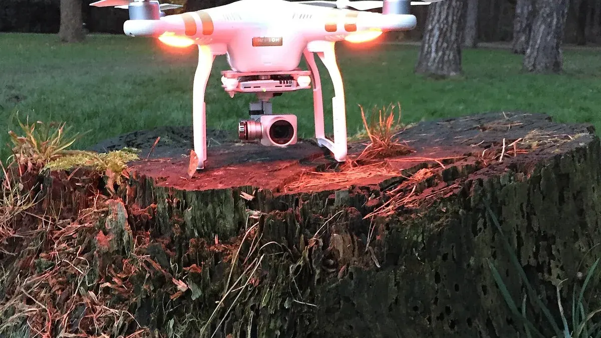
Aerial imagery can help record visible roof, facade, yard, access or landscape conditions after an event. It should be treated as a dated evidence set that supports review—not as an automatic determination of cause, coverage, value or liability.
Define the event and area
Record the property, asset, approximate event date, suspected areas, access limits, safety risks and intended recipient. The capture should cover the agreed areas without collecting unnecessary private activity or neighbouring detail.
Record before and after where possible
Existing routine imagery can provide a useful comparison, but a new flight cannot recreate a historical condition that was never documented. Keep capture dates, original files, locations, viewpoints and limitations clear.
Separate observation from claim conclusion
Use wording such as “visible displaced roofing material on the north elevation” rather than deciding cause or policy coverage. Engineers, adjusters, contractors or legal professionals should interpret the evidence within their roles.
Handover and preservation
Supply original media, selected evidence images, annotations, report pages, delivery records and a clear version history. Protect access and retention according to the client’s instructions and the sensitivity of the claim.
Start with the event and the insurer's request
Ask the property owner to record what happened, when it was noticed and which assets may be affected. A storm, fire, leak or impact can leave different safety hazards and evidence needs. The insurer or appointed surveyor may request particular views or file formats. Get that request in writing where possible. A drone crew should not decide policy coverage or loss amount from a flight brief. Its role is to capture dated, traceable views of areas that can be reached safely.
List the property, roof zones, facades, yards, access points and surrounding context needed for the review. Use the owner's asset names. If a damaged area is hidden by a parapet or debris, mark it as not covered. A broad “whole building” video may look impressive but miss the exact surface an assessor needs to examine. Pair each detail with a wide locator image so a reviewer can find it later.
Check safety before seeking a dramatic image
After an event, roofs, walls, power systems and trees may be unstable. Emergency workers or residents may still be present. The site owner and pilot should confirm that access, airspace, weather and operating conditions support a flight. Do not send a crew into a damaged yard solely to get a closer angle. If the event involved fire or flood, coordinate with the responsible authority and wait for an appropriate window. Record why a view could not be taken safely.
Use an agreed launch point, a stop contact and a route clear of people and response activity. A later ground inspection by a qualified professional may be needed for hidden damage or cause. The drone's advantage is an initial visual record of hard-to-reach external areas, not a reason to bypass the site's safety process.
Capture in a repeatable order
Begin with the whole property and each affected elevation or roof section. Then collect closer frames of visible conditions, keeping the viewing direction and asset ID. Record date, approximate time, recent weather and any change made for safety. Avoid moving debris or staging a scene for the camera. If the owner has older maintenance images, keep their dates and source separate from the new capture. A “before” picture from another season or angle may not prove the condition immediately before the event.
Describe only what is visible: displaced sheets, standing water, staining, fallen branches or damaged-looking equipment. The image may not show whether the event caused the condition, whether it was pre-existing or how much repair will cost. A specialist may need to test the roof or structure. The commercial roof guide explains how an aerial first look supports follow-up without becoming a leak diagnosis.
Keep the claim decision with the right people
The insurer, appointed surveyor, engineer and policyholder have different roles. The Insurance Regulatory and Development Authority of India describes licensed surveyors and loss assessors as professionals who investigate and quantify losses (IRDAI surveyor guidance). A drone provider can supply images and a factual observation sheet, but should not advertise that it can approve a claim, decide coverage or assess liability. The client should follow the insurer's current claim process and preserve any other documents it requests.
If a frame appears to show old wear beside new damage, do not edit one part out to make the claim look stronger. Provide context and let the qualified reviewer assess it. A factual report is more valuable than advocacy disguised as inspection. Use clear terms such as “visible torn membrane on north roof bay” and “cause not determined by imagery.”
Preserve originals and a simple custody record
Copy the original media safely and keep it unchanged. Maintain a shot log with date, site, asset, file name and any gap. Make annotated copies with separate names. Record when files were delivered, to whom and in which version. If a reviewer requests a crop or enhanced image, link that derivative to the original. Do not overwrite old report pages after a correction; issue a new version with a short change note.
A file manifest can help an insurer or engineer confirm that it received the expected set. Keep metadata where available, but do not assume camera metadata proves every fact about capture conditions. The person responsible for formal evidence or legal use should advise on any additional requirements. The media archive guide gives a practical storage workflow.
Protect people and private property
An aerial image after damage may reveal residents, vulnerable property, security measures or neighbouring homes. Capture only the context the review needs. Use restricted transfer for originals and a smaller selected set for general project discussion. If public communication is planned, review it separately for privacy and factual accuracy. The insured property owner's request for documentation does not automatically grant permission to publish an identifiable neighbour or a private resident.
Set a retention period and name who owns the long-term archive. A claim may remain open longer than a marketing project. The production team should know whether files are held under the client's instructions and whether a deletion request is subject to a documented hold. Keep the storage plan in the brief so source images do not end up in a general portfolio folder.
Example: roof damage after heavy wind
Suppose a warehouse owner reports displaced roof sheets after a storm. The facility manager lists the affected bays and arranges a safe window after emergency work. The drone crew records a whole-roof view and labelled close images of the visible displaced sheets. One bay is hidden by a tall parapet, so the report marks it as not covered. Older maintenance photos are available but were taken several months earlier; the comparison page shows both dates and does not claim they represent the roof immediately before the storm.
The owner provides the originals and observation sheet to the insurer's process. A roofer checks the roof safely, and the appointed loss assessor reviews the broader evidence. The drone report helps locate visible damage and preserve the first view. It does not calculate the insured loss or decide whether the policy responds.
Questions for the first call
Give the provider the property location, event date, affected assets, current safety status, insurer or surveyor requests, access contact and intended recipients. Ask for a capture plan, labelled stills, originals, a coverage and gap list, simple observations, file manifest and secure delivery. Confirm that the crew will not state a cause or claim outcome it cannot verify. The right output is a clear factual record that the responsible professionals can use with the rest of the claim file.
See the industrial inspection report template and media archive workflow.
FAQs
Can drone footage prove the cause of damage?
Not by itself. It may document visible conditions and timing, while cause and coverage require broader evidence and qualified review.
Can a roof be inspected after a storm?
It may be possible after the site is safe, weather is suitable and access and flight feasibility are confirmed. Do not send a crew into an unsafe site for imagery.
Should the insurer receive original files?
The handover should follow the written project or claim requirements and clearly identify originals, selected files, annotations and versions.
Plan your project
Share your site, dates and intended output so we can confirm a suitable scope.
Aerial Imaging & Cinematics · Compare project scope · Get in touch
Related reading
- Commercial Facility Handover Drone Documentation in India
- Manufacturing Plant Expansion Drone Documentation in India
- Commercial Drone Data Security in India: Client Planning Guide
- Retail and Mall Drone Photography in Bangalore: Marketing and Documentation Guide
- Golf Course and Resort Drone Photography in Bangalore: Aerial Content Guide
- Dam and Canal Drone Inspection in India: Water Infrastructure Planning Guide
Contact SkyViews Aerial Drone Studio at +91 90190 56479 or skyviewsdronestudio@gmail.com. Service area: Bangalore, Karnataka and India and wider Bangalore, Karnataka and India.