Drone Storytelling for NGOs and Documentaries in India
How non-profits, documentary teams and social-impact organisations can use aerial visuals responsibly with consent, context, safety and clear...
By SkyViews Aerial Drone Studio
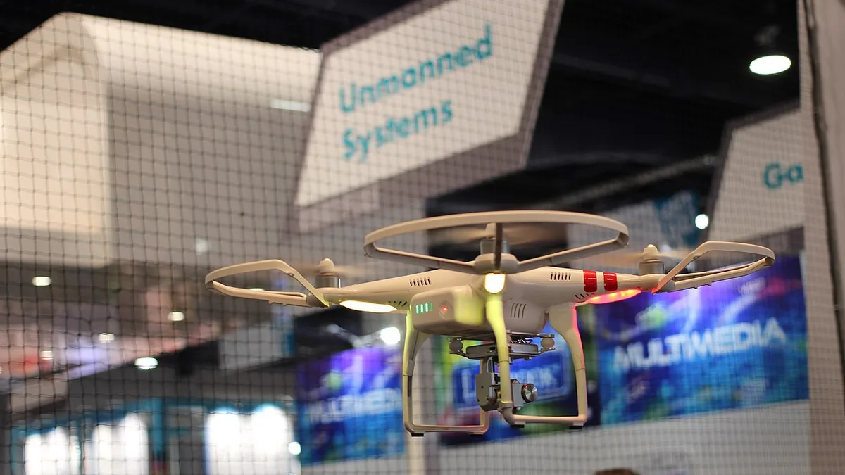
Aerial images can show geography, infrastructure, environmental change and the scale of a social issue. They can also remove context, expose vulnerable people or turn a community into a visual backdrop. An ethical brief starts with the people and purpose, not the most dramatic shot.
Define the story and consent
Explain what the project is documenting, who will see it, where it will be published and whether people or private homes may be identifiable. Work with local partners who understand the community, language, sensitivities and consent process.
Avoid misleading scale
Wide aerials should be paired with ground context, dates and clear captions. Do not imply that one visible location represents an entire region or that a proposed intervention has already happened.
Plan safety and access
Identify roads, water, crowds, schools, health facilities, wildlife, powerlines and sensitive sites. Use site contacts, safe windows and alternatives such as ground or archival material when an aerial flight would create risk or discomfort.
Protect the media
Agree who stores originals, who may access them, how vulnerable subjects are protected and what is safe to publish. Review faces, addresses, routes and identifiable details before release. Use the privacy and consent guide as a production checklist.
Begin with the people who live in the story
Before choosing a drone shot, write one paragraph about the people or place being filmed and the point the audience should understand. A floodplain, school, health project or farming community is more than a striking pattern from above. Ask local partners what an outsider might misunderstand. If the story concerns people facing hardship, ask whether an aerial view adds useful context or merely makes their homes identifiable. A good opening image can orient the viewer without exposing anyone's private life.
Decide whose voice will explain the image. A wide shot of a settlement cannot tell viewers why the land looks as it does or what residents want. Pair it with interviews, on-ground observation, dates and a clear description of the area shown. If the film makes a claim about change over time, use comparable images and a source for the claim. Do not turn a single day's footage into proof of a long-term trend.
Make consent a process, not a release form at the end
Tell participants what the camera may capture, who is making the film, where it may appear and whether it may be used in fundraising, advocacy or paid promotion. Use the local language and a way to ask questions. A person may agree to an interview but object to an aerial view revealing their home, field, route or place of work. Leave room for that choice in the shot plan.
The organisation should identify a trusted contact for the community before the crew arrives. That contact can explain the project and relay concerns, but their agreement should not be treated as consent on behalf of every visible person. For children or people in vulnerable settings, take extra care with the people responsible for them and the applicable rules. When clear permission is unavailable, frame wider, avoid identifying details or use another visual method.
Consent also has a time dimension. A film that was suitable for a closed donor meeting may be unsuitable when shared publicly years later. Agree how questions and withdrawal requests will be handled. Review India's official Digital Personal Data Protection Rules, 2025 with the organisation's data and legal team for any duties that apply to the project. The article is a production guide, not a legal clearance.
Build a shot list around evidence
List the information each aerial image must show. For a water project, that might be the reservoir, the canal route, the nearby fields and the connection between them. For a school-access story, it might be the road, crossing and distance to the facility. Include a ground-level image or interview that explains what is visible. If a dramatic move does not answer a story question, it can be dropped.
For environmental work, fix a repeatable viewpoint and record the date, location, weather and approximate area. A dry-season image and a monsoon image may look very different for ordinary seasonal reasons. Labelling both images prevents a viewer from mistaking seasonality for a project outcome. A specialist may need to interpret changes in vegetation, erosion, flooding or land use; the camera captures appearance, not cause.
Keep a simple log with the image ID, location, date, subject, permission status and intended caption. When editing months later, the team can trace what an image really shows. This is especially helpful when a regional campaign combines footage from several villages or districts.
Make the flight quiet, safe and predictable
Share the proposed timing with community contacts and the site owner. Explain where the crew will stand, what area may be filmed and how long the aircraft may be present. Avoid surprising people at schools, clinics, religious places, homes or relief sites. Noise can disrupt a meeting or make a participant feel observed. If people are uncomfortable, pause and reassess the plan.
The drone operator should check the live airspace position, site access, weather, nearby people and aircraft requirements before flight. The flight permission planning checklist sets out the information to gather. Community support does not substitute for aviation compliance, and aviation compliance does not remove the need to respect the community. A shot can be abandoned if it is unsafe or socially inappropriate even when it was in the original storyboard.
Plan a ground-camera alternative for every essential scene. This protects the production when wind, rain, access or local concern prevents flying. The team should not pressure a pilot or community contact to accept extra risk because donors expect an aerial opening.
Review context before publishing
The first edit should be reviewed by a person who understands the place, a person responsible for the story's factual claims and a person responsible for safeguarding. Check whether captions name the right location and date. Check whether homes, faces, vehicle plates, school entrances or private routes can be recognised. Check whether the narration makes a claim the image cannot support. If a subject could face stigma, unwanted attention or security risk, a wider crop or different scene may be the better choice.
Fundraising copy deserves the same care. It should describe the need and the organisation's work honestly. Do not show a planned intervention as a completed one, imply every resident consented or use footage from another site without clear labelling. Where an aerial image is illustrative rather than evidence of a specific claim, say so in the edit or caption.
Agree who owns and retains each file
The brief should say who receives camera originals, selected stills, finished films, captions and releases. Put sensitive originals in access-controlled storage. Give editors only what they need, use clear file names and set a retention period that the organisation can manage. If a third-party producer or donor wants reuse, check the agreed rights and the people's expectations first. A general licence to use a film should not be assumed to cover every later campaign.
For handover, include a scene list, dates, locations at a safe level of detail, usage limits and a named contact for corrections. Some precise location data may need to stay in an internal archive rather than in a public caption. This is especially relevant for vulnerable people, wildlife, protected resources or sensitive infrastructure.
A realistic two-day planning example
Imagine an NGO documenting a restored water body. On day one, the local team explains the project, identifies paths and homes to avoid, and chooses two viewpoints that show the water body in context. The producer checks the flight area with the pilot and confirms access with the land manager. The crew records aerial context, ground interviews and the date of capture. They do not claim that the imagery proves water quality or household impact.
On day two, the editor selects a short aerial opening, then uses ground footage and residents' explanations for the human story. A local reviewer checks captions and whether anyone is unexpectedly identifiable. The organisation keeps the source files, release record and approved edit together. Later, if the film is reused for a national campaign, the team can review the new audience and message instead of assuming the old approval covers it.
FAQs
Can NGOs use drone footage in fundraising campaigns?
Yes, when the licence, consent, context, dignity and publication purpose are clear. Fundraising urgency does not remove privacy or safety responsibilities.
Can aerial images show environmental change?
They can document visible conditions and change over time when capture dates, boundaries and methods are consistent. Interpretation may require environmental or scientific expertise.
Is a dramatic shot always the best documentary shot?
No. A useful shot is accurate, contextual, respectful and connected to the story the audience needs to understand.
Plan your project
Share your site, dates and intended output so we can confirm a suitable scope.
Explore drone services · Compare project scope · Get in touch
Related reading
- Commercial Drone Data Security in India: Client Planning Guide
- Commercial Drone Shoot Call Sheet: What to Include Before Crew Arrival
- Commercial Drone Shoot Contract Checklist for India Clients
- Product Launch Drone Photography and Video in Bangalore: Planning Guide
- Wind Turbine Drone Inspection in India: Scope, Safety and Reporting Guide
- Drone Media Archive, Backup and Delivery Workflow for Commercial Projects
Contact SkyViews Aerial Drone Studio at +91 90190 56479 or skyviewsdronestudio@gmail.com. Service area: Bangalore, Karnataka and India and wider Bangalore, Karnataka and India.